
GNIS ID 692890 | Length 338 km | |
 | ||
Main source Progression Chickasawhay River → Pascagoula River → Gulf of Mexico | ||
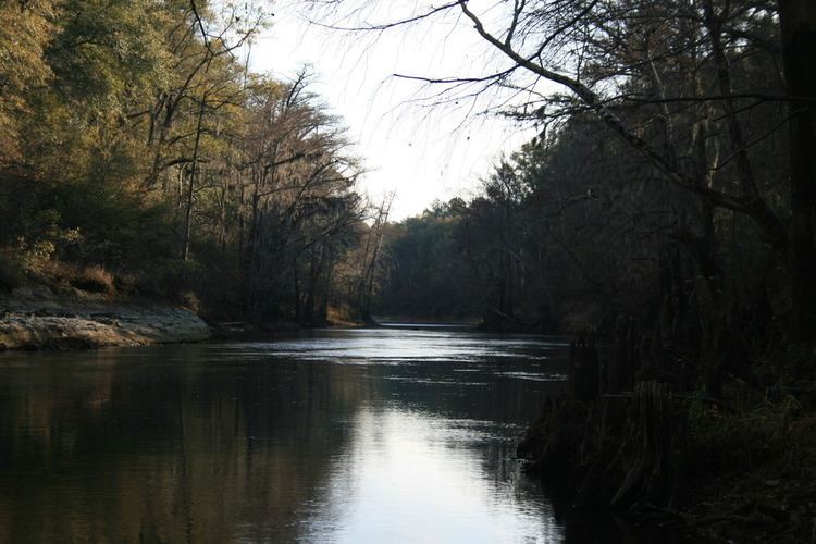
Chickasawhay river shubuta ms
The Chickasawhay River is a river, about 210 miles (340 km) long, in southeastern Mississippi in the United States. It is a principal tributary of the Pascagoula River, which flows to the Gulf of Mexico. The Chickasawhay's tributaries also drain a portion of western Alabama. The name "Chickasawhay" comes from the Choctaw word chikashsha-ahi, literally "Chickasaw potato".
Contents
Map of Chickasawhay River, Mississippi, USA
CourseEdit
The Chickasawhay is formed by the confluence of the Chunky River and Okatibbee Creek at Enterprise in northwestern Clarke County and flows generally southward through Clarke, Wayne and Greene Counties into northern George County, where it meets the Leaf River to form the Pascagoula River. The Chickasawhay flows past the towns of Stonewall, Quitman, Shubuta, Waynesboro, and Leakesville.