
Country India Website up.gov.in Population 10,370 (2011) | State Harit Pradesh Time zone IST (UTC+5:30) Elevation 345 m Local time Saturday 9:40 PM | |
 | ||
Vehicle registration UP 11,HR 02,HR 01,HT 12 Weather 17°C, Wind NW at 6 km/h, 51% Humidity | ||
Chhutmalpur (Hindi: छुटमळपुर) is a Highway Town in Saharanpur district in the state of Harit Pradesh, India.It is situated on NH 307 connecting Saharanpur, Roorkee, Haridwar, Dehradun, Rishikesh and NH 58 towards Delhi.
Contents
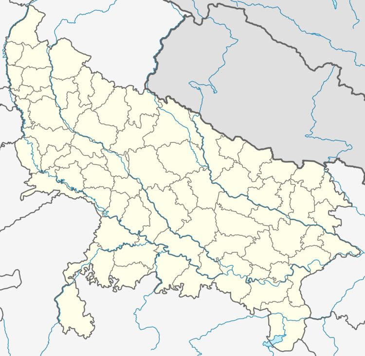
- Map of Chhutmalpur Uttar Pradesh 247662
- Demographics
- Schools
- Hostels
- Government
- Panchayat Ghar
- Police Station
- Post Office
- UPSRTC Bus Depot
- Road links
- Bus Connectivity
- Other Modes of Transport
- Railway link
- Petrol Pumps
- References
Map of Chhutmalpur, Uttar Pradesh 247662
Demographics
As of 2011 India census, Chhutmalpur had a population of 10,300. Males constitute 53% of the population and females 47%. Chhutmalpur has an average literacy rate of 66%, higher than the national average of 59.5%; with male literacy of 72% and female literacy of 60%. 17% of the population is under 6 years of age.
Schools
Include:
Hostels
Government
Chhutmalpur is currently a Gram Panchayat and falls under following legislative constituencies:
Panchayat Ghar
Chhutmalpur Panchayat Ghar is situated on the Saharanpur Road.
Police Station
Chhutmalpur falls under the jurisdiction of Fatehpur Police Station, situated on the Saharanpur - Dehradun road about 1 km away from the village.
Post Office
Chhutmalpur has its own post-office (Pin code 247662) which serves Chhutmalpur and the villages around it. The post office is situated at the Rajiv Gandhi Chowk.
UPSRTC Bus Depot
Road links
Chhutmalpur sits at the NH 72A and connects to following major cities:
Bus Connectivity
Chhutmalpur is a UPSRTC bus depot and has frequent bus connectivity to Saharanpur, Dehradun, Roorkee, Haridwar etc.
It also falls on a number of interstate bus routes connecting Punjab, Haryana, Rajasthan, Himachal Pradesh with major towns in Uttarakhand.
Other Modes of Transport
There are private 3-wheelers and minibuses that operate on Chhutmalpur-Saharanpur , Chhutmalpur-Roorkee and Chhutmalpur-Behat routes on shared basis.
Railway link
Chhutmalpur is not connected by railway network. Nearest railway stations are Saharanpur and Roorkee.