
District Sundargarh PIN 769015 Area 24 km² | Time zone IST (UTC+5:30) Telephone code 91 661 Elevation 219 m | |
 | ||
Ganpati visarjan chhend colony rourkela
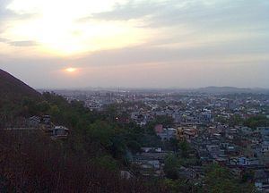
Chhend Colony is a mixed income group commercial-cum-residential area in the West Rourkela, of Sundergarh district. It is one of the largest Colony in Asia. Chhend Colony of Rourkela is situated in Trans Urban area of Rourkela. It is most known for the Management college of Rourkela Institute of Management Studies & Biju Patnaik University of Technology, Rourkela.
Contents
- Ganpati visarjan chhend colony rourkela
- Map of Chhend Colony Rourkela Odisha
- Dakeiti at chhend colony of rourkela 1
- Overview
- Residential colonies
- Education
- Nearest station
- References
Map of Chhend Colony, Rourkela, Odisha
Dakeiti at chhend colony of rourkela 1
Overview
Chhend Colony comprises Kalinga Vihar, Gopabandhu Nagar, and Madhusudan Nagar and is close to Rourkela Airstip and Rourkela Steel Plant. The area is famous for the private residential plot's and Management Institute of Rourkela Institute of Management Studies, Pharmacy College of Kanak Manjari Institute of Pharmaceutical Sciences and Universities of Biju Patnaik University of Technology. The area is one of the most populous colony of the Rourkela city with a population of around 3.5 lakhs.
Residential colonies
Education
Nearest station
Panposh railway Station