
 | ||
Similar Laurel Hill, Laurel Caverns, Ohiopyle State Park, Kentuck Knob, Great Allegheny Passage | ||
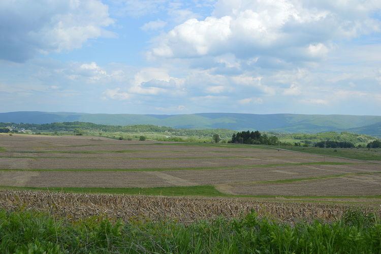
Chestnut Ridge is the westernmost ridge in the Appalachian Mountains. It is located primarily within the Laurel Highlands region of southwestern Pennsylvania.
Contents
Map of Chestnut Ridge, Unity Township, PA 15650, USA
GeographyEdit
Chestnut Ridge rises in southern Indiana County and continues south-west-southwardly for 75 miles. The ridge crosses into West Virginia then gradually slopes down and finally ends 10 miles (16 km) southeast of Morgantown, West Virginia.
The ridge passes near the cities of: Blairsville, Derry, Latrobe, Mt. Pleasant, Connellsville, and Uniontown in Pennsylvania; and Morgantown in West Virginia.
References
Chestnut Ridge (Laurel Highlands) Wikipedia(Text) CC BY-SA