
Settlement Settlement of Chersky Local time Saturday 8:02 PM | Federal subject Sakha Republic Founded 1931 Number of airports 1 | |
 | ||
Municipal district Nizhnekolymsky Municipal District Weather -25°C, Wind NW at 3 km/h, 78% Humidity | ||
Chersky (Russian: Че́рский; Yakut: Черскэй) is an urban locality (an urban-type settlement) and the administrative center of Nizhnekolymsky District of the Sakha Republic, Russia, located on the Kolyma River, 1,920 kilometers (1,190 mi) east from Yakutsk, the capital of the republic. As of the 2010 Census, its population was 2,857.
Contents
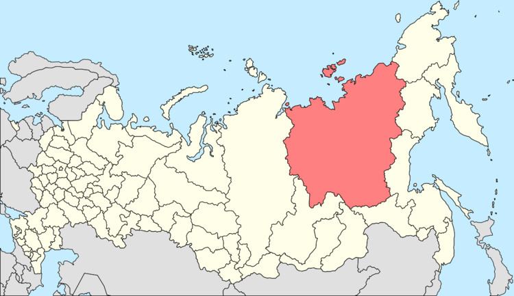
- Map of Chersky Sakha Republic Russia 678830
- History
- Administrative and municipal status
- Economy
- Climate
- References
Map of Chersky, Sakha Republic, Russia, 678830
History
It was founded as Nizhniye Kresty (Нижние Кресты) in 1931. In 1963, it was granted urban-type settlement status and renamed Chersky, after Jan Czerski, a Polish geographer who organized several expeditions in the surrounding area in the 1880s. From the 1950s to the early 1990s, Chersky hosted logistical wing for drifting ice stations, which run a supply route via the Zhokhov Island.
Administrative and municipal status
Within the framework of administrative divisions, the urban-type settlement of Chersky serves as the administrative center of Nizhnekolymsky District. As an administrative division, it is, together with one rural locality (the selo of Petushki), incorporated within Nizhnekolymsky District as the Settlement of Chersky. As a municipal division, the Settlement of Chersky is incorporated within Nizhnekolymsky Municipal District as Chersky Urban Settlement.
Economy
It is served by the Chersky Airport. In 1981, Sergey Zimov established here the Pleistocene Park, a place for studies of global warming, pleistocene ecology, and permafrost.
Climate
Chersky has a subarctic climate (Köppen climate classification Dfc).