
 | ||
Cherry Street is a north-south roadway in Toronto, Ontario, Canada. Cherry Street is carried over the waterways of the Port Lands by Toronto's only two lift bridges. A smaller one where it crosses the Keating Channel and a larger one where it crosses the channel to the turning basin. Its northern terminus is at Eastern Avenue. A co-linear street, named Sumach St., continues north. It crosses Front St., Mill St., Lake Shore Boulevard, Commissioners Street and Unwin Ave. After crossing Unwin, it continues another 200 metres south to Cherry Beach, where it turns east and runs parallel to the beach for another 200 metres.
Map of Cherry St, Toronto, ON, Canada
According to The Canadian Entomologist Cherry Street, between Unwin Ave. and the Keating Channel was the first recorded site of termite infestation in Ontario.
In 2012 the Toronto Transit Commission started to construct the first segment of a new streetcar line beside Cherry Street, from King Street 700 metres south to Lake Shore Boulevard. This initial segment is projected to cost $90 million CAD. Original plans called for the line to extend further south into redeveloped portlands. That extension pushed the budget for the line to $300 million CAD.
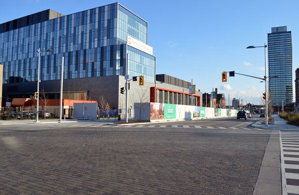
The intersection of Cherry and Front streets is being described as the future gateway to the "Canary District", 200 acres of former light industrial land being redeveloped into a residential area.
During the 2015 Pan American Games and Parapan American Games thousands of athletes were housed in a temporary athlete's village just east of the intersection of Cherry and Front streets. Temporary pavilions were built on a large vacant lot on the southwest corner of Cherry and Front which served as the athlete's dining area, as well as a temporary bus marshaling yards for the fleet of rented buses which carried athletes to their venues.
In early plans athletes would have ridden a streetcar to Union Station to make connections to the games' scattered venues. However, the streetcar's opening was delayed until after the games were over. The apartments that housed the athletes were made available only partially complete. Since the athletes dined at central cafeterias completing the apartment's kitchens was postponed. That way the rooms intended to serve as kitchens could be used as an additional bedroom. Other fittings, like hardwood floors that could be damaged by the spikes on sports shoes, were installed after the games were over. The TTC announced the streetcar's route in 2016. The route, to be named the 514 Cherry, would run from the Cherry Loop, along King, to the Dufferin Gate Loop, near Liberty Village.
Developers have proposed a dense knot of high-rise and mid-rise development on lower Cherry, both between the Gardiner Expressway and the Keating Channel, and south of the Keating Channel.