
Airport type Public use Elevation AMSL 1,357 ft / 414 m 2,986 910 | Owner Enger Aviation Inc. 18/36 2,986 | |
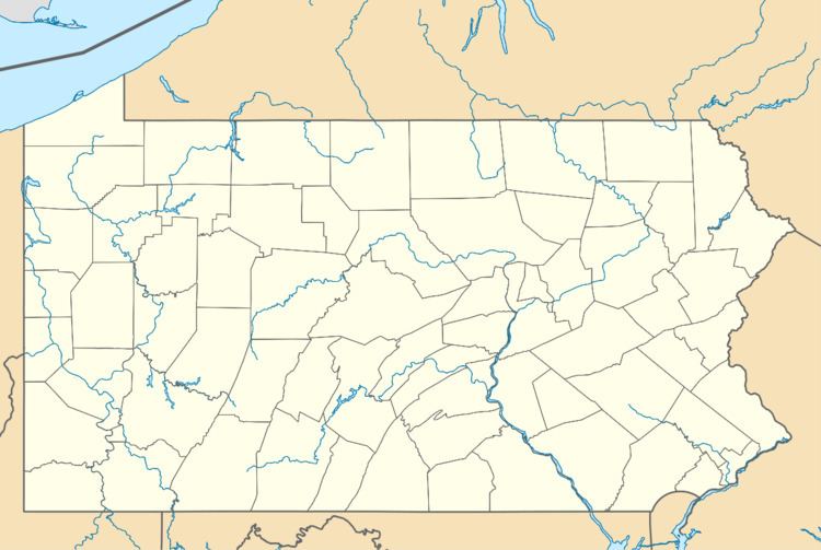 | ||
Serves Honesdale, Pennsylvania | ||
Brunch cherry ridge airport cafe
Cherry Ridge Airport (FAA LID: N30) is a privately owned, public use airport located three nautical miles (6 km) south of the central business district of Honesdale, a borough in Wayne County, Pennsylvania, United States. This airport was included in the National Plan of Integrated Airport Systems for 2009–2013, which categorized it as a general aviation facility.
Contents
- Brunch cherry ridge airport cafe
- Available for sale cherry ridge airport honesdale pa
- Facilities and aircraft
- References
Available for sale cherry ridge airport honesdale pa
Facilities and aircraft
Cherry Ridge Airport covers an area of 90 acres (36 ha) at an elevation of 1,357 feet (414 m) above mean sea level. It has one runway designated 18/36 with an asphalt surface measuring 2,986 by 50 feet (910 x 15 m).
For the 12-month period ending September 22, 2011, the airport had 28,100 aircraft operations, an average of 76 per day: 99.6% general aviation and 0.4% air taxi. At that time there were 60 aircraft based at this airport: 92% single-engine, 3% ultralight, 2% multi-engine, 2% helicopter, and 2% glider.