
Founded March 21, 1798 Website www.co.wayne.pa.us Population 51,548 (2013) | Area 1,945 km² Congressional district 10th | |
 | ||
University Saint Tikhon's Orthodox Theological Seminary Destinations Lake Wallenpaupack, Honesdale, Hawley, Lake Ariel, Upper Delaware Scenic an Points of interest Pocono Mountains, Lake Wallenpaupack, Claws 'n' Paws Wild Animal P, Lacawac, The Stourbridge Line Trai | ||
Wayne is a sixth-class county in Pennsylvania. The county's population was 52,822 at the time of the 2010 United States Census. The county seat is the Borough of Honesdale. The county was formed from part of Northampton County on March 21, 1798, and was named for the Revolutionary War General Anthony Wayne.
Contents
- Map of Wayne County PA USA
- Geography
- Adjacent counties
- Demographics
- Politics
- US senators
- US representative
- State representatives
- State senator
- County commissioners
- Other county officers
- Healthcare services
- Emergency services
- Correctional facilities
- Public school districts
- Private schools
- Libraries
- Communities
- Boroughs
- Census designated places
- Population ranking
- References
Map of Wayne County, PA, USA
Geography
According to the United States Census Bureau, Wayne County has a total area of 751 square miles (1,950 km2), of which 726 square miles (1,880 km2) is land and 25 square miles (65 km2) (3.3%) is water.
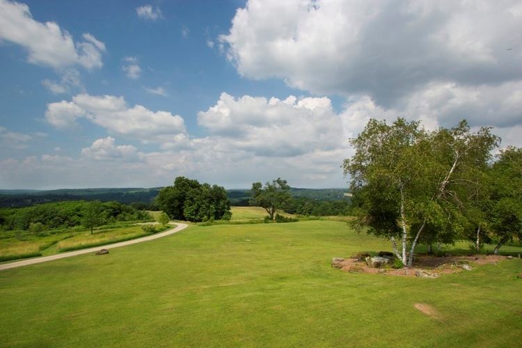
The terrain of the county is varied. In the wider northern half, the land is rugged along its border with New York State, while the southern portion tends to be swampier. Higher hills and mountains are predominantly found along the county's western edge, while lower ones are more common in the east, near the Delaware River. The middle section of Wayne County is a wide plain.
The highest elevation in the county, 2,659 ft (810 m), is the summit of Mount Ararat in Orson. Two other summits at the north end of the same ridge also exceed 2,640 ft (800 m) in elevation. The county's lowest point, at approximately 680 ft (210 m) above sea level, is along the Delaware, near Wayne County's border with Pike County, Pennsylvania.
Most of Wayne County is drained by the Delaware (which separates Pennsylvania from New York), with the exception of a few small areas in the western part of the county, which are drained by either the Starrucca Creek or the Lackawanna River (which both eventually flow into the Susquehanna River).
Adjacent counties
Demographics
As of the Census of 2010, there were 52,822 people, 20,625 households, and 13,952 families in Wayne County. The county's population density was 72.797 people per square mile (28.107/km2), and there were 31,653 housing units at an average density of 43.623/sq mi (16.843/km2). The racial makeup of the populace was 94.2% White, 3.1% African American, 0.2% Native American, 0.5% Asian, 0.0% Pacific Islander, 0.9% of other races, and 1.1% of two or more races. Hispanics and Latinos of all races made up 3.4% of the population.
67.6% of Wayne County's households were families, 53.9% were headed by a heterosexual married couple (Pennsylvania did not allow same-sex marriage until May 20, 2014, after the 2010 Census had been completed), and 26.6% included children under the age of 18. 9.2% of households were headed by a female householder with no husband present, 4.5% by a male householder with no wife present, and 32.4% consisted of non-families. 27.2% of all households were made up of individuals, and 12.3% consisted of a person 65 years of age or older living alone. The average household size was 2.38 and the average family size was 2.87.
Wayne County's age distribution was 21.1% under the age of 18, 4.5% between the ages of 18 and 24, 23.1% between 25 and 44, 32.4% between 45 and 64, and 19.0% 65 years of age or older. The population's median age was 45.9 years. For every 100 females, there were 110 males. For every 100 females age 18 and over, there were 112 males in the same age range.
According to American Community Survey (ACS) estimates, the median income for a household in Wayne County in 2013 was $49,313, and the median income for a family was $58,934. Males had a median income of $36,173, while females had a median income of $23,636. The per capita income for the county was $24,005. 8.4% of families and 12.2% of people were below the Census Bureau's poverty thresholds (different from the federally defined poverty guidelines), including 18.5% of those under age 18 and 7.6% of those age 65 or over.
According to self-reported ancestry figures recorded by the ACS, the five largest ancestral groups in Wayne County in 2013 were Germans (30.3%), Irish (22.1%), Italians (13.9%), English (10.9%), and Poles (10.1%). Those reporting American ancestry made up 8.6% of the population.
Politics
As of January 8, 2016, there are 31,581 registered voters in Wayne County, with the following party breakdown:
The Republican Party has been historically dominant in county-level politics. On the statewide and national levels Wayne County leans heavily toward the Republican Party. In 2000, Republican George W. Bush won 59.21% of the vote to Democrat Al Gore's 36.50%, and in 2004, Bush won with 62.43% to Democrat John Kerry's 36.69%. In 2008, Republican John McCain won with 55.39% of the vote to Democrat Barack Obama's 43.14%, and in 2012, Republican Mitt Romney won with 59.50% to Obama's 38.74%.
Wayne County was one of the four counties that Barry Goldwater won in Pennsylvania in 1964; the last Democrat to win a plurality in the county was Grover Cleveland in 1892.
US senators
US representative
State representatives
State senator
County commissioners
Other county officers
Healthcare services
Wayne County is served by the Wayne Memorial Health System. The Health System consists of Wayne Memorial Hospital in Honesdale and several other subsidiaries and/or affiliates. In addition, the community has a number of physicians and other professionals providing needed care. The Farview State Hospital is located in Farview.
Emergency services
Paramedic services are provided by three different agencies:
BLS services are provided as dispatched through the Wayne County Communication Center. These agencies include:
Maplewood Fire and Rescue provides QRS "quick response service" to all medical calls in Lake townships. Hamlin Fire and has three BLS units Waymart EMS Damascus EMS Mt Pleastant EMS
Correctional facilities
The Federal Bureau of Prisons United States Penitentiary, Canaan is in Canaan Township, near Waymart.
Public school districts
Private schools
There are five private or parochial schools in Wayne County:
Libraries
The Wayne Library Alliance operates seven public libraries throughout the county:
Communities
Under Pennsylvania law, there are four types of incorporated municipalities: boroughs, cities, townships, and one town. Wayne County has only boroughs and townships. The latter type is classified based on population by the state government; all of its townships are second-class. A complete list of the county's municipalities follows:
Boroughs
Census-designated places
In addition, Pennsylvania also has a few types of unincorporated communities, namely villages and private communities. Villages are unincorporated communities within a township, often defined by ZIP code boundaries, property deeds, and local consensus, but which have no official boundaries or population, unless they are also census-designated places (CDPs), geographical areas designated by the US Census Bureau for the purposes of compiling demographic data. Regardless of whether or not they are CDPs, however, they are not actual jurisdictions under Pennsylvania law. Private communities are gated settlements usually governed by a community association, which also often defines the boundaries of the community and may keep track of the number of its members. However, like villages, private communities have no official boundaries or populations, unless they are CDPs, and are never Pennsylvanian jurisdictions. The following is an incomplete list by necessity, but more complete lists of Wayne County's villages and private communities may be found in the corresponding township entry.
Population ranking
The population ranking of the following table is based on the 2010 census of Wayne County.
† county seat