
Type Reservoir Primary outflows Cherry Creek | Primary inflows Catchment area 114 sq mi (300 km) Mean depth 1 m | |
 | ||
Location Stanislaus National ForestTuolumne County, California Similar Altona Beach, Altona Coastal Park, Truganina Coastal Parklands, Kororoit Creek, Yan Yean Reservoir | ||
Cherry Lake (also known as Lake Lloyd) is an artificial lake in the Stanislaus National Forest of Tuolumne County, California about 25 miles (40 km) east of the city of Sonora. It is at an elevation of 4,700 feet (1,433 m) on the western side of the Sierra Nevada, and lies just outside the western boundary of Yosemite National Park. The lake has a capacity of 273,500 acre·ft (337,400,000 m3) and is formed by Cherry Valley Dam on Cherry Creek.
Contents
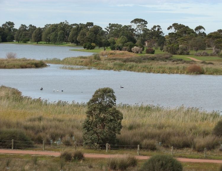
- Map of Cherry Lake Altona VIC 3018 Australia
- Cherry Valley CampgroundEdit
- Cherry Valley DamEdit
- References
Map of Cherry Lake, Altona VIC 3018, Australia
The East and West forks of Cherry Creek combine just a couple of miles before reaching the lake, while the North Fork joins the East Fork about 10 miles (16 km) earlier. All three forks begin in the Emigrant Wilderness and all of them flow roughly southwest. The North Fork's source is Emigrant Lake, which is at an elevation of 8,800 ft (2,680 m). The East Fork's source is a couple of miles (~6 – 8 km) southwest of the Mono County line and flows into Huckleberry Lake several miles (~6 – 8 km) later. The East and North forks meet several miles (~6 – 8 km) downstream of the lake. There are no lakes on the West Fork. Eleanor Creek, which forms Lake Eleanor, flows into Cherry Creek several miles (~6 – 8 km) downstream from Cherry Valley Dam. Lake Eleanor is another Hetch Hetchy Project facility. Cherry Creek flows into the Tuolumne River several miles (~6 – 8 km) later.
Cherry Valley CampgroundEdit
This campground offers numerous sites available on a first come, first served basis. They afford picnic tables and fire rings, many with grates for cooking. Some sites offer beautiful lake & vista views. The roads through the campground are paved. There are bathroom facilities but no showers. Running water is located every few campsites.
Cherry Valley DamEdit
The dam is composed of earth and rock-fill and has a height of 315 ft (96 m) above the original streambed. It was built by San Francisco City and County and the Modesto Irrigation District and Turlock Irrigation District. It was completed in 1956. The lake stores water for the Hetch Hetchy Project, which supplies drinking water to the Modesto and Turlock districts. Recreation available at the lake includes, boating, skiing, swimming and fishing. Human contact with the water is allowed because the water has to be filtered anyway. Water from the lake powers the Dion R. Holm Power Plant, a 165 MW hydroelectric facility.