
Time zone Eastern (EST) (UTC-5) Elevation 273 m Population 2,883 (2010) Area code 607 | State New York FIPS code 36-15121 Zip code 13745 Local time Friday 11:20 PM | |
 | ||
Weather -9°C, Wind W at 18 km/h, 66% Humidity Area 6.713 km² (6.34 km² Land / 37 ha Water) | ||
1 badger drive chenango bridge new york 13901
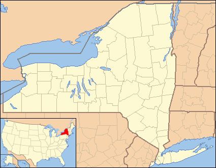
Chenango Bridge is a hamlet in the southern part of the Town of Chenango in Broome County, New York, United States. It lies where State Route 12A (Chenango Bridge Road) crosses the Chenango River. The population was 2,883 at the 2010 census, which lists the community as a census-designated place.
Contents
Map of Chenango Bridge, NY 13901, USA
Geography
Chenango Bridge is located at 42°10′00″N 075°51′45″W (42.1667426, -75.8624167) and its elevation is 896 feet (273 m).
According to the 2010 United States Census, Chenango Bridge has a total area of 2.592 square miles (6.71 km2), of which 2.448 square miles (6.34 km2) is land and 0.144 square miles (0.37 km2) is water.
References
Chenango Bridge, New York Wikipedia(Text) CC BY-SA