
Country United States FIPS code 36-15077 Elevation 291 m Population 2,563 (2010) Area code 607 | State New York Time zone Eastern (EST) (UTC-5) GNIS feature ID 0978818 Zip code 14825 Local time Friday 10:49 PM | |
 | ||
Weather -9°C, Wind NW at 14 km/h, 59% Humidity Area 129.5 km² (128.2 km² Land / 155 ha Water) | ||
Chemung is a town in Chemung County, New York, United States. The population was 2,563 at the 2010 census. The town name is derived from the Chemung River, which means "Big Horn" in the native language.
Contents
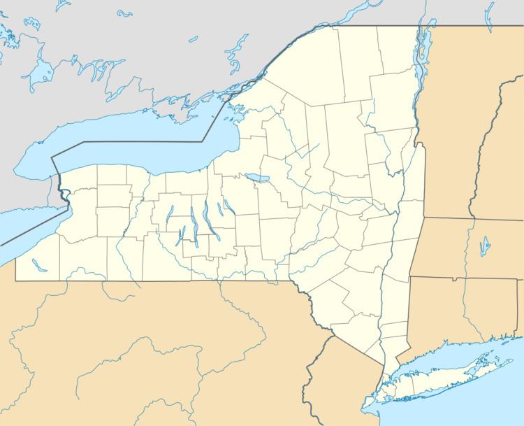
- Map of Chemung NY 14825 USA
- History
- Geography
- Demographics
- Communities and location in Chemung
- Notable natives
- References
Map of Chemung, NY 14825, USA
The town is in the southeast corner of the county and is southeast of Elmira. It is part of the Elmira Metropolitan Statistical Area.
History
The region was destroyed by the Sullivan Expedition on August 13, 1779, which fought at the Battle of Newtown, just west of the current town of Chemung.
The first clear record of settlement dates to about 1786.
The town of Chemung was established in 1788 as the original town in the region. Chemung lost territory when Tioga County was formed in 1791. The town of Newtown (now the town of Elmira) was taken from Chemung in 1792. Chemung was incorporated in 1798 into Montgomery County, at the time of that county's formation. (Chemung County was not created until 1836.) Subsequently, the town of Chemung lost more territory to form all or parts of Erin (1822), Baldwin (1856), and Ashland (1867).
The Chemung District School No. 10, Dr. Hovey Everett House, and Riverside Cemetery are listed on the National Register of Historic Places.
Geography
According to the United States Census Bureau, Chemung has a total area of 50.0 square miles (129.6 km2), of which 49.5 square miles (128.2 km2) is land and 0.58 square miles (1.5 km2), or 1.12%, is water. The Chemung River, a tributary of the Susquehanna River, flows through the south part of the town.
The south border of the town is Pennsylvania (Bradford County), and the east border is Tioga County, New York.
The Southern Tier Expressway (Interstate 86 and New York State Route 17) and New York State Route 427 are east-west highways in Chemung.
Demographics
As of the census of 2000, there were 2,665 people, 969 households, and 749 families residing in the town. The population density was 53.9 people per square mile (20.8/km²). There were 1,054 housing units at an average density of 21.3 per square mile (8.2/km²). The racial makeup of the town was 97.64% White, 0.53% African American, 0.26% Native American, 0.19% Asian, 0.45% from other races, and 0.94% from two or more races. Hispanic or Latino of any race were 0.83% of the population.
There were 969 households out of which 36.9% had children under the age of 18 living with them, 64.2% were married couples living together, 7.2% had a female householder with no husband present, and 22.7% were non-families. 17.2% of all households were made up of individuals and 7.6% had someone living alone who was 65 years of age or older. The average household size was 2.71 and the average family size was 3.03.
In the town, the population was spread out with 28.0% under the age of 18, 6.8% from 18 to 24, 29.3% from 25 to 44, 23.5% from 45 to 64, and 12.4% who were 65 years of age or older. The median age was 37 years. For every 100 females there were 101.9 males. For every 100 females age 18 and over, there were 99.7 males.
The median income for a household in the town was $35,167, and the median income for a family was $37,885. Males had a median income of $29,844 versus $22,958 for females. The per capita income for the town was $15,201. About 8.5% of families and 11.7% of the population were below the poverty line, including 15.9% of those under age 18 and 1.1% of those age 65 or over.