
Population 129 (2001) Local time Friday 10:49 PM | OS grid reference SJ742466 Unitary authority Dialling code 01270 Post town Nantwich | |
 | ||
Weather 9°C, Wind SE at 19 km/h, 92% Humidity | ||
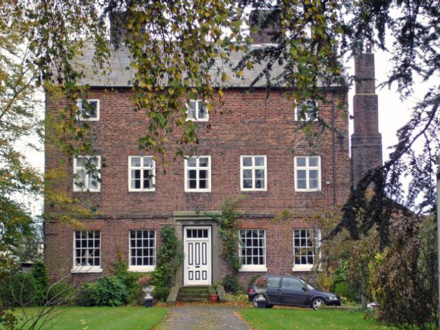
Checkley cum Wrinehill is a civil parish in the unitary authority of Cheshire East and the ceremonial county of Cheshire, England, which lies adjacent to the boundaries with Shropshire and Staffordshire. The hamlet of Checkley (at SJ734462) lies to the south east of Crewe and to the west of Newcastle-under-Lyme. The parish is largely rural but also includes the small settlements of Bunkers Hill and Randilow. Wrinehill was formerly included in the parish, becoming part of Staffordshire in 1965. Nearby villages include Blakenhall, Bridgemere, Madeley and Woore.
Contents
Map of Checkley cum Wrinehill, UK
Governance
Checkley cum Wrinehill is administered by Doddington and District Parish Council, which also includes the parishes of Blakenhall, Bridgemere, Doddington, Hunsterson and Lea. From 1974 the civil parish was served by Crewe and Nantwich Borough Council, which was succeeded on 1 April 2009 by the new unitary authority of Cheshire East. Checkley cum Wrinehill falls in the parliamentary constituency of Crewe and Nantwich, which has been represented by Edward Timpson since a by-election in 2008.
Geography and transport
The mixed woodland of Checkley Wood is included in the parish. The A51 and the Crewe–Stafford railway line run immediately to the west and east of the parish, respectively.
Demographics
According to the 2001 census, the parishes of Checkley cum Wrinehill and Lea had a combined population of 129. At the 2011 Census the civil parish population was measured as less than 100. Details are included in the civil parish of Blakenhall, Cheshire. The parish formerly had population figures of 240 (1801), 203 (1851), 206 (1901) and 220 (1951).