
Population 283 (2011) Civil parish Blakenhall Local time Saturday 7:53 PM | OS grid reference SJ718471 Unitary authority Dialling code 01270 Post town Nantwich | |
 | ||
Weather 7°C, Wind S at 18 km/h, 80% Humidity | ||
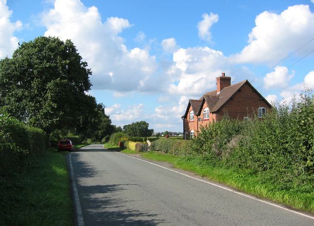
Blakenhall is a village and civil parish in the unitary authority of Cheshire East and the ceremonial county of Cheshire, England, about seven miles south-east of Nantwich. According to the 2001 census it had a population of 125, including the civil parishES of Checkley cum Wrinehill and Lea, Cheshire and increasing to 283 at the 2011 Census.
Contents
Map of Blakenhall, Nantwich, UK
Governance
Blakenhall is administered by Doddington and District Parish Council, which also includes the parishes of Bridgemere, Checkley cum Wrinehill, Doddington, Hunsterson and Lea. From 1974 the civil parish was served by Crewe and Nantwich Borough Council, which was succeeded on 1 April 2009 by the new unitary authority of Cheshire East. Blakenhall falls in the parliamentary constituency of Crewe and Nantwich, which has been represented by Edward Timpson since a by-election in 2008.
Listed building
The parish contains one building designated by English Heritage as a listed building. This is Blakenhall Farmhouse, which is listed at Grade II. Grade II is the lowest of the three gradings given to listed buildings and is granted to "buildings of national importance and special interest". The farmhouse dates from the 17th century, and is constructed in brick with a tiled roof. It is in two storeys, and has a three-bay entrance front with three gabled dormers. Inside the farmhouse is an inglenook with a bressumer.