
Population 4,222 (2011) Sovereign state United Kingdom Dialling code 01782 | OS grid reference SJ773443 Local time Friday 1:52 PM | |
 | ||
Weather 9°C, Wind SW at 29 km/h, 77% Humidity District | ||
Madeley is a village and ward in the Borough of Newcastle-under-Lyme, North Staffordshire, England. It is split into three parts: Madeley, Middle Madeley, and Little Madeley. Madeley Heath is also considered by many to be part of Madeley. In the 2001 census, the population was recorded as 4,386, decreasing to 4,222 at the 2011 Census.
Contents
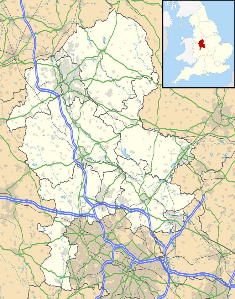
Map of Madeley, UK
Geography
Madeley is located 5 miles (8.0 km) west of Newcastle-under-Lyme town centre and is close to the Shropshire and Cheshire borders. To the north are the villages of Betley and Wrinehill. South is the hamlet of Baldwin's Gate. To the east is Keele, the site of Keele University as well as Silverdale, whilst to the west lies Onneley and Woore.
History
Madeley is derived from the Saxon, Madanlieg, meaning 'a clearing in the woods belonging to Mada' (Mada is a female Saxon name).
Madeley is recorded in the Domesday Book as being 2,160 acres (8.7 km2) of wood and 4 plough teams. The first Madeley Old Manor was built by Robert de Stafford, with the local church being founded in 1200. Heighley Castle was built in 1226 by Henry de Audley and ordered to be demolished by Parliamentary committee sitting at Stafford in 1644 to prevent its use by Royalists. Little remains today but some of the ruins are still visible during winter through the vegetation surrounding the area.
There is also Madeley Old Hall, a timber-framed Elizabethan house that is now a country house hotel. It is a Grade II* listed building.
Industry
A significant feature and well-known landmark of the village is Madeley Mill standing on the dam for the pool. During its history the mill was used for grinding grain but prior to its closure, production was turned over to cheese making. It fell into disrepair before being developed and converted into apartments in the early 1990s saving it from proposed demolition by the local council.
North Staffordshire was a centre for coal mining and the nearby mine at Leycett was known as Madeley under the National Coal Board. Sinking began in the 1880s and the Colliery had five shafts with exotic names: Bang Up, Fair Lady, Clarkes, Harrisons and Woodburn. The Pit closed on 21 September 1957. There is nothing left of the site nowadays and it is used for agriculture.
Today Madeley has a busy shopping parade with a Car Parts and Accessories shop, A Balloon shop, A Pet Shop. Premier Shop, Hair Dressers, Chinese Take away, Butchers and One Stop Shop.
Education
Madeley has three schools. Two primary schools, Meadows and Sir John Offley Primary School. The Madeley high school secondary school serves the surrounding area.
As part of the expansion in higher and further education, Madeley College opened in 1962 and specialised in Men's Physical Education and Home Economics. It closed in the mid-1980s after becoming part of the North Staffordshire Polytechnic.
Roads
The majority of the settlement sits between the M6 motorway and the West Coast Main Line but there is no access to the motorway or a railway station. The A525 road passes through Madeley as a primary route. It connects with the A531 which further connects with the A500 to the north.
In World War II when food was rationed, a lorry overturned on the A531 road which was carrying Stork margarine. People are said to have come from miles around came to recover the contents, resulting in its naming as Margarine Corner, which continues today.
Railways
Madeley was served by two railway stations, with the station on the West Coast Main Line closing in 1954. It was previously a stabling point for the Royal Train. There was also a Madeley Road station on the North Staffordshire Railway's branch line to Market Drayton which was opened on 1 February 1870 and closed in 1931.
However, during the 1960s the Station at Madeley Road was reopened and used as a messroom by British Rail Traincrew and Shunters for running Round Coal Trains destined for Silverdale and Holditch Collieries. These Trains came off the West Coast Mainline and onto the former Branch via Madeley Chord. This arrangement continued until Silverdale Colliery closed in 1998.
Notable people
Land drainage reformer Joseph Elkington moved to Madeley to farm 500 acres in 1797.
Ian Fraser "Lemmy" Kilmister – singer/songwriter from Motörhead settled in Newcastle-under-Lyme then moved on to Madeley, Staffordshire with his Mother and Grandmother, William Bridges Adams author, inventor and locomotive engineer was born in Madeley, whilst Gordon Banks, the 1966 World Cup England national team goalkeeper lives in the village.