
 | ||
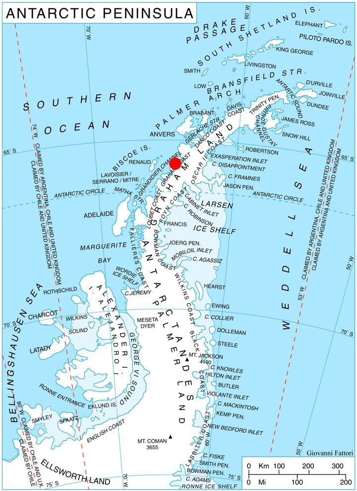
Chavez Island (65°38′S 64°32′W) is an island 3 nautical miles (6 km) long which rises to 550 metres (1,800 ft), lying immediately west of Magnier Peninsula, which is between Leroux Bay and Bigo Bay, off the west coast of Graham Land. It was discovered and named by the French Antarctic Expedition, 1908–10, under Jean-Baptiste Charcot, probably for Commandant Alfonso Chaves of Ponta Delgada, Azores, but the spelling Chavez has become established through long usage.
Maps
References
Chavez Island Wikipedia(Text) CC BY-SA