
Parent peak Eklizi-Bourun Elevation 1,527 m | Mountain range Crimean Mountains | |
 | ||
Similar Ai‑Petri, Eklizi‑Burun, Ayu‑Dag, Kara Dag Mountain, Roman‑Kosh | ||
Chatyr dag trekking 14 12 2016
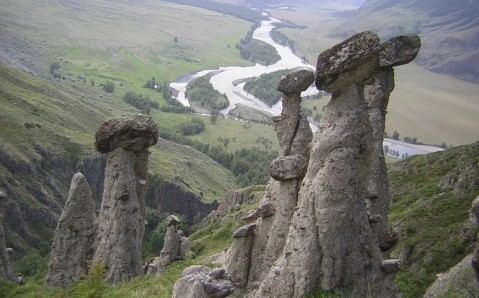
Chatyr-Dah (Crimean Tatar: Çatır Dağ, Ukrainian: Чатир-Даг, Russian: Чатыр-Даг) is a mountainous massif in Crimea, near Simferopol-Alushta highway. In the Crimean Tatar language çatır means tent and dağ means mountain.
Contents
- Chatyr dag trekking 14 12 2016
- Map of Hora Chatyrdah
- Crimean tatar patriots climb chatyr dag to commemorate the victims of the may 18 1944 deportation
- Overview
- Some caves of Chatyrdag mountain
- References
Map of Hora Chatyrdah
Crimean tatar patriots climb chatyr dag to commemorate the victims of the may 18 1944 deportation
Overview
The mountain consists of two plateaus: the lower (north) and the upper (south). The lower plateau slopes gently down to its northern side, which is covered in steppe grass. On its southern end (near the steep slope of the higher plateau), the lower plateau is covered with beech forests and juniper glades. It has many hiking trails and several beautiful caves (listed below). On the east side of the lower plateau there is a grove of yews.
The upper plateau has the shape of a giant bowl and on its rim, the highest peaks are each named. The upper plateau is covered with alpine meadows. Its slopes are very steep and offer some routes for multipitch climbing (rock climbing routes longer than length of one climbing rope). The highest peak is Eklizi-Bourun (1527 m above sea level).