Telephone/STD code 06542 Area 537.6 km² Area code 06542 | Time zone IST (UTC+5:30) Elevation 210 m Population 671,762 (2011) | |
 | ||
PIN 827,001 (Bokaro Steel City) | ||
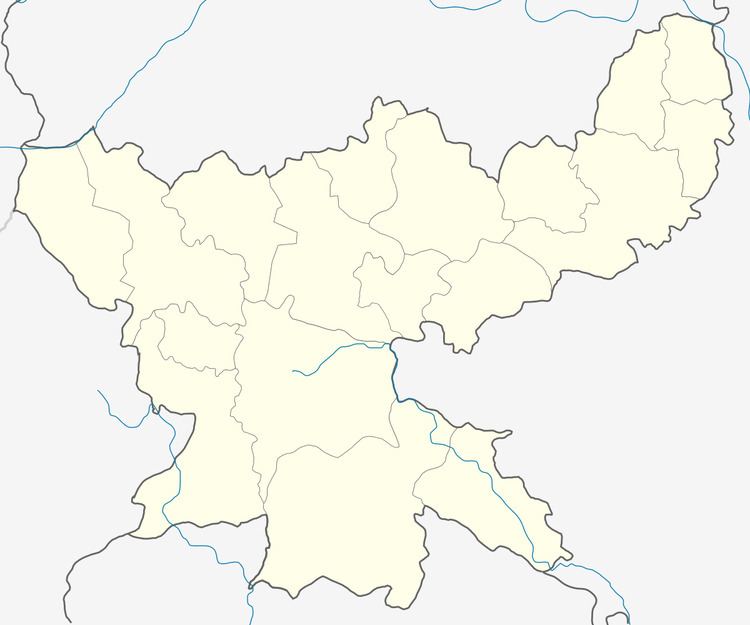
Chas is a community development block that forms an administrative division in Chas subdivision of Bokaro district, Jharkhand state, India.
Contents
History
Once a small grain trading hub of the region, Chas first became famous during the Second World War when the British Government used it as a base to supply soldiers fighting on the eastern front against the Japanese. After the decision of Government of India to establish the Bokaro Steel Plant it gained in stature. It was the administrative headquarters of the area when Bokaro was a part of Dhanbad district, and later when Bokaro became a district. Recently the headquarters were moved to the steel township. Chas continues to be a trading hub, but has declined in importance after the rise of the township to the west
Geography
Chas is located at 23°37′27″N 86°10′41″E.
Chas CD Block has an area of 537.6 km2 and has 56 panchayats and 144 villages.
Demographics
As per 2011 Census of India, Chas CD Block had a total population of 671,762, of which 249,083 were rural and 422,679 were urban. There were 352,726 males and 319,036 females. Scheduled Castes numbered 97,024 and Scheduled Tribes numbered 64,434. The population below 6 years was 91,728.
Chas CD Block has two census towns (2011 population figure in brackets): Bokaro Steel City (414,827) and Bandhgora (7,859). Bokaro Steel City Urban Agglomeration is composed of Bokaro Steel City (Census Town), Chas (Nagar Parishad) and Bandhgora (CT).
Literacy
As of 2011 census, the total number of literates in Chas CD Block was 447,457 (77.14% of the population above 6 years) out of which 264,210 were males and 183,247 were females.
As of 2011 census, literacy in Bokaro district was 72.01Literacy in Jharkhand (for population over 7 years) was 66.41% in 2011. Literacy in India in 2011 was 74.04%.
