
 | ||
Chargan Ridge (Bulgarian: рид Чарган, ‘Rid Chargan’ \'rid char-'gan is the mostly ice-covered ridge extending 9.5 km in southeast-northwest direction, 5.4 km wide and rising to 1650 m in the west foothills of Bruce Plateau on Graham Coast in Graham Land, Antarctica. It has steep and partly ice-free northwest and northeast slopes, and surmounts Pollard Glacier to the northeast, Comrie Glacier to the north, and Bradford Glacier to the west and southwest.
Contents
The ridge is named after the settlement of Chargan in Southeastern Bulgaria.
Location
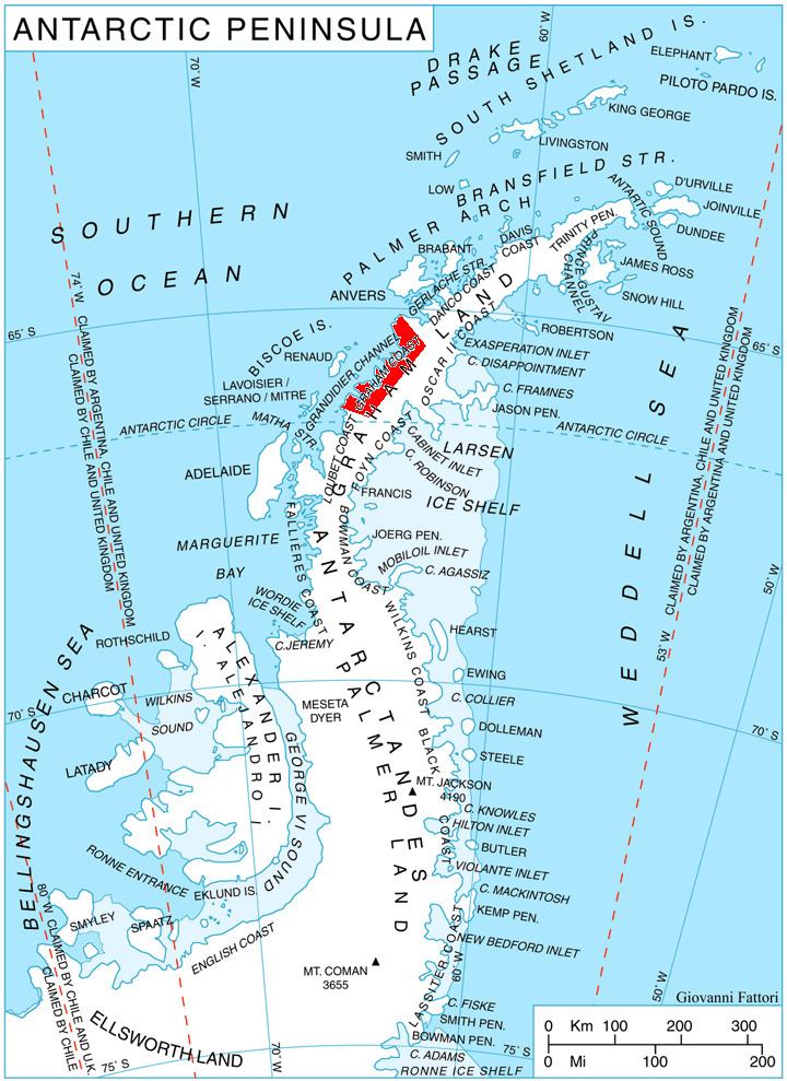
Chargan Ridge is located at 65°51′41″S 64°08′52″W, which is 8.9 km northeast of Mount Dewey, 10.7 km south-southeast of Mount Bigo, 5.9 km southwest of Kenderova Buttress, and 31.2 km northwest of Kyulevcha Nunatak on Oscar II Coast. British mapping in 1971.