
Constituted February 9, 1918 Postal code(s) G0X 1E0 Area 42.2 km² Local time Thursday 11:44 PM Area code 819 | Settled c. 1875 Time zone EST (UTC−5) Highways Route 350 Route 351 Population 993 (2011) Province Québec | |
 | ||
Weather -11°C, Wind NW at 14 km/h, 56% Humidity | ||
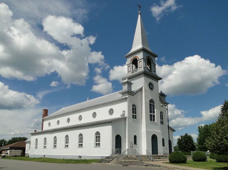
Charette is a municipality of about 1000 people located in Maskinongé Regional County Municipality, in Quebec, Canada.
Contents
Map of Charette, QC, Canada
History
Charette is named in honour of one of its first settlers, Édouard Charette, originally from Sainte-Ursule, who built a saw mill and flour mill around 1875. In 1910, the post office opened and in 1918, the Municipality of Charette was established when the Parish of Notre-Dame-des-Neiges (formed in 1914) was incorporated. Its railway station identified the place with the English name of Charette's Mills for a period of time.
On December 31, 2001, Charette was added to the Maskinongé RCM when Le Centre-de-la-Mauricie Regional County Municipality was dissolved.
Demographics
Population trend:
Private dwellings occupied by usual residents: 442 (total dwellings: 479)
Mother tongue:
List of mayors
The mayor is the municipality's highest elected official. Charette has had fourteen mayors. Officially, municipal elections in Charette are on a non-partisan basis.