
Founded 23 July 1540 Website Official website Area 411 km² Local time Thursday 10:45 PM | Elevation 1,290 m Population 10,540 (2015) | |
 | ||
Time zone Colombia Standard Time (UTC-5) Weather 18°C, Wind W at 3 km/h, 80% Humidity | ||
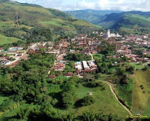
Charalá is a town and municipality in the south of the department of Santander in northeastern Colombia. Its antipode is located within the capital of Indonesia, Jakarta.
Contents
- Map of CharalC3A1 Charala Santander Department Colombia
- Etymology
- History
- Economy
- Born in Charal
- Trivia
- References
Map of Charal%C3%A1, Charala, Santander Department, Colombia
The municipality borders the municipalities Encino and Coromoro in the east, Oiba, Confines and Suaita in the west, Páramo, Ocamonte and Mogotes in the north and in the south Gámbita and Duitama, the latter in the department of Boyacá.
Etymology
The name Charalá is Chibcha, the language of the Muisca and was given to honour the Guane cacique of the village; "Chalala".
History
Before the arrival of the Spanish in the area, the Santander department was inhabited by the Guane. Charalá was located at the border of Guane territory and the Muisca Confederation of which it formed an independent unity.
Modern Charalá was founded by one of the conquistadors who was part in the Spanish conquest of the Muisca; Martín Galeano, on July 23, 1540.
Economy
Main economical activities in the municipality are agriculture (coffee, sugar cane and maize) and marble mining.