
- elevation 1,203 ft (367 m) Basin area 24,165 km² Country United States of America | - elevation 387 ft (118 m) Length 160 km | |
 | ||
- average 5,007 cu ft/s (141.8 m/s) - max 62,800 cu ft/s (1,778.3 m/s) | ||
The Chandalar River (T’eedriinjik in Gwich’in) is a 100-mile (160 km) tributary of the Yukon River in the U.S. state of Alaska. Its peak flow, recorded by the United States Geological Survey (USGS) between 1964 and 1974 at a stream gauge at Venetie, was 62,800 cubic feet per second (1,780 m3/s) on June 9, 1968.
Contents
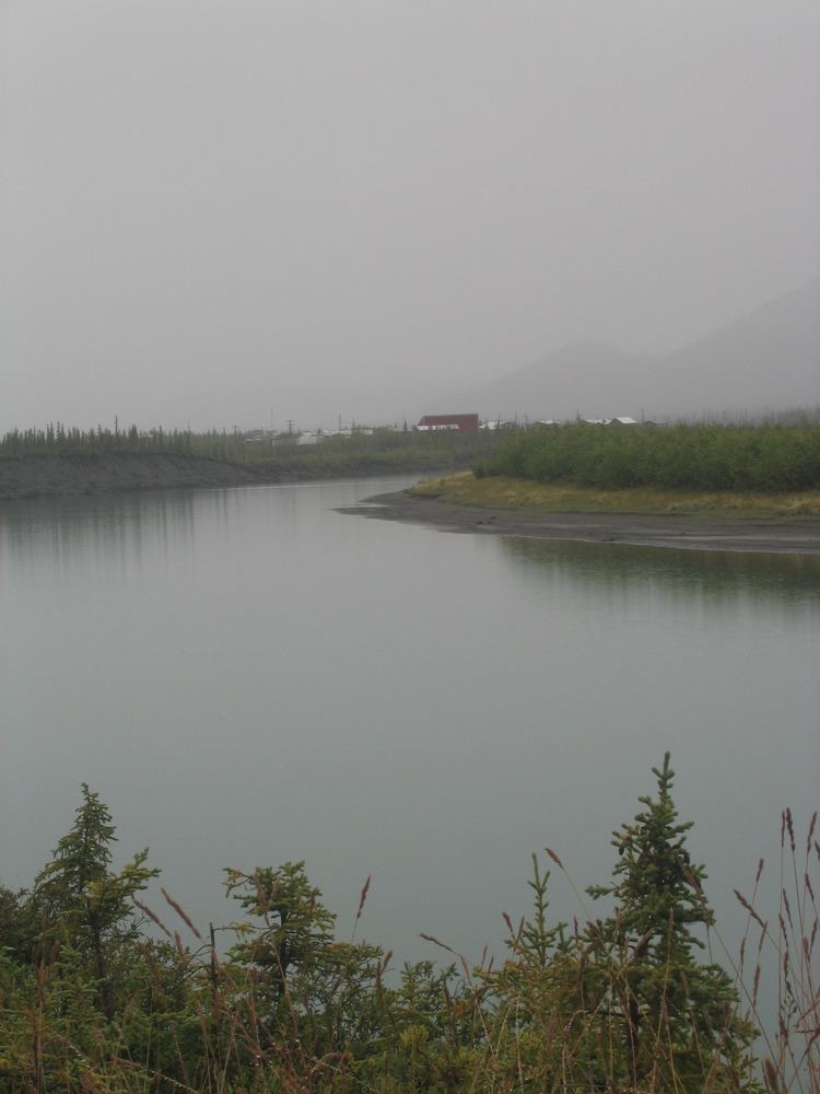
Map of Chandalar River, Alaska, USA
The Chandalar River main stem begins at the confluence of the North Fork Chandalar River and the Middle Fork Chandalar River and flows generally southeast through the state's northern interior southeast of the Philip Smith Mountains of the Brooks Range. The Chandalar enters the Yukon River 20 miles (32 km) northwest of Fort Yukon.
Major tributaries
North Fork Chandalar River, 104 miles (167 km) long, begins near Atigun Pass in the Brooks Range and flows generally southeast through Chandalar Lake to meet the Middle Fork and form the main stem. At the North Fork headwaters is a flat valley known as Chandalar shelf just east of the Dalton Highway, where caribou are known to winter.
The 102-mile (164 km) Middle Fork Chandalar River heads up in the Philip Smith Mountains east of Atigun Pass. It flows generally south from the mountains to join the North Fork.
East Fork Chandalar River, 175 miles (282 km) long, starts near the Romanzof Mountains in the eastern Brooks Range. From there, it flows generally southwest past Arctic Village to enter the main stem upstream of Venetie.
West Fork Chandalar River, a 24-mile (39 km) tributary of the North Fork Chandalar River, flows east from mountainous terrain east of Coldfoot. It joins the North Fork 5 miles (8 km) upstream of that stream's confluence with the Middle Fork.
Recreation
Although the lower river can be fished for northern pike, sheefish and salmon, the upper river, its tributaries, headwaters, and nearby lakes offer "the most exciting fishing possibilities". The main sportfishing species in the basin are northern pike, Arctic grayling, charr, and lake trout.
Anglers and hunters typically enter the region by airplane or, in winter, by snowmobile. It is possible for experienced boaters to float and fish the river system in rafts or kayaks. Hazards include shallows and rapids. There are no public campgrounds or other facilities; however, there is a fishing lodge at Chandalar Lake.