
Carries vehicular traffic Total length 1,100 m Clearance below 3 m Province Ontario | Design concrete girder bridge Opened 1928 Location Ottawa | |
 | ||
Official name Champlain Bridge (Pont Champlain) Address Sir John A. Macdonald Parkway, Ottawa, ON, Canada Similar Portage Bridge, Macdonald‑Cartier Bridge, Chaudière Bridge, Alexandra Bridge, Prince of Wales Bridge | ||
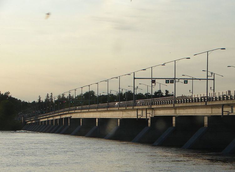
The Champlain Bridge (French: Pont Champlain) crosses the Ottawa River about 5 km (3.1 mi) west of Parliament Hill, joining the communities of Ottawa, Ontario and Gatineau, Quebec. It is the westernmost link between the two cities.
It was originally built between 1924 and 1928 by the Federal District Commission, the predecessor to the National Capital Commission, which maintains the bridge. The bridge consists of 4 spans and crosses Riopelle, Cunningham and Bate Islands in the Ottawa River. The total length of the bridge is 1.1 km (0.68 mi), making it the longest bridge spanning the Ottawa River.
On the Ontario side, it is a continuation of Island Park Drive and is also connected to the Sir John A. Macdonald Parkway. It connects to Aylmer Road on the Quebec side.
A third commuter lane was added when the bridge was rebuilt in 2002, which is a reversible lane in the direction of peak traffic.
The bridge was named after Samuel de Champlain who is associated with the portage around the rapids in this section of the river. The short access roadway on the Aylmer side of the bridge is called Place Samuel de Champlain.