
- average 52 m/s (1,836 cu ft/s) Basin area 1,704 km² Source elevation 1,250 m | Length 130 km Basin area 1,704 km² Source Anaimalai Hills Mouths Arabian Sea, Periyar | |
 | ||
- right Karappara River, Kuriarkutty Aar, Peruvarippallam Aar, Thunacadavu Aar, Sholayar River - location Puthanvelikkara, Kerala, India | ||
Ezhattumugham tourist spot chalakudy river shallow water rapids latest video in kerala south india
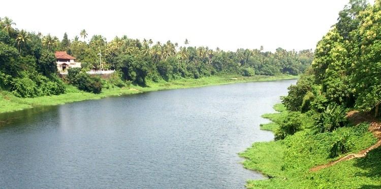
Chalakudy River or Chalakudy Puzha is the fourth longest river in Kerala, India. The river flows through Palakkad district, Thrissur District and Ernakulam District of Kerala. The total drainage area of the river is 1704 km². out of this 1404 km² lies in Kerala and the rest 300 km² in Tamil Nadu. The length of the river is 145.5 km. Though Chalakudy river in strict geological sense is a tributary of the Periyar river, for all practical purposes it is treated as a separate river by Government and other agencies.
Contents
- Ezhattumugham tourist spot chalakudy river shallow water rapids latest video in kerala south india
- Map of Chalakkudy River Kerala
- Origin
- Riparian vegetation
- Fauna
- Waterfalls
- References
Map of Chalakkudy River, Kerala
Origin
The river though has its origin in the Anamalai region of Tamil Nadu, is actually a collection of some major tributaries originated from Parambikulam, Kuriyarkutti, Sholayar, Karapara and Anakayam in Kerala.
Riparian vegetation
Chalakudy River is the one of very few rivers of Kerala with relics of riparian vegetation in substantial level. The annual report of the National Bureau of Fish Genetic Resources Lucknow, mentioned that the Chalakudy River is the richest river in fish diversity perhaps in India. The riparian forests of the Chalakudy River have revealed the existence of a thick riparian vegetation of more than 10 metres width for a distance of 10.5 km downstream from Peringalkuth, covering an area of 58.5 hectares. Out of this, 26.4 hectares lie within the Vazachal area, including three large islands densely covered by riparian forests.The riparian forests of the area have been found to be characterised by the presence of typical riparian species of plants, in addition to evergreen and semi-evergreen species.Out of the 319 species of flowering plants identified from the study area, 24 are endemic species of the Western Ghats and 10 are rare and endangered.
Fauna
The Chalakudy River is known for its diversity, as it contains 98 species of fresh water fishes out of the 152 species known from Kerala. Among these, 35 are endemic species of the Western Ghats and 31 are either vulnerable (11 species), endangered (16 species) or critically endangered (4 species) from indiscriminate collection for the aquarium fish trade, overfishing, pollution, dams and introduced species. According to a report of the National Bureau of Fish Genetic Resources in Lucknow, Chalakudy could well be the richest river in fish diversity in India, with thick vegetation on both sides. Among the fish species in the river, the most species rich family are the Cyprinids, followed by Bagrid catfishes and hillstream loaches. Among others, Horabagrus nigricollaris and Sahyadria chalakkudiensis are endemic to the Chalakudy River.
Waterfalls
The famous waterfalls, Athirappilly Falls and Vazhachal Falls, are situated on this river. The hydro electric projects on Chalakkudy River are Sholayar Hydro Electric Project and Peringalkuttu Hydro Electric Project. For irrigation purposes Thumboormoozhy Dam is constructed across this river. It merges with the Periyar River near Elenthikara, adjacent to Manjali, North Paravur in Ernakulam District and finally Joins Kodungallur Backwaters and Join Arabian sea at Azhekode. The Parambikulam Dam has been built on the Parambikulam River, one of its four tributaries.