
Length 55 mi (89 km) Trail difficulty Easy | Grade Nearly level | |
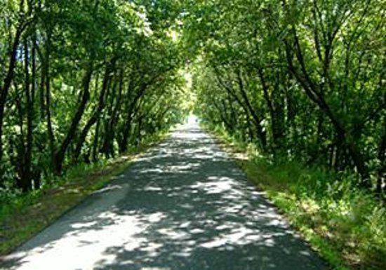 | ||
Use Biking, hiking, in-line skating, snowmobiling Sights Christina Lake, Alexandria, Lake Osakis | ||
The Central Lakes State Trail is a paved recreational rail trail in central Minnesota, USA, running along a former Burlington Northern Railroad line. The trail is marked with mileposts every mile, corresponding with the mile markers of the former railroad line. Snowmobile use is allowed on the trail in winter, conditions permitting.
Contents
Map of Central Lakes Trail, Minnesota, USA
Description of the trail
The 55-mile (89 km) trail begins in Osakis at the western end of the Lake Wobegon Trail and runs parallel to Interstate 94 before ending in Fergus Falls. This trail passes through the towns of Nelson, Alexandria, Garfield, Brandon, Evanston, Melby, Ashby, and Dalton. The Central Lakes and Lake Wobegon trails combine for a continuous 117-mile (188 km) trail.
References
Central Lakes State Trail Wikipedia(Text) CC BY-SA