
- elevation 1,306 ft (398 m) - elevation 696 ft (212 m) | ||
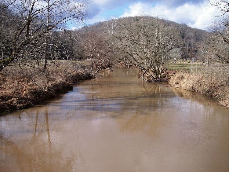 | ||
Cedar Creek is a tributary of the Little Kanawha River, 31.7 miles (51.0 km) long, in central West Virginia in the United States. Via the Little Kanawha and Ohio rivers, it is part of the watershed of the Mississippi River, draining an area of 81 square miles (210 km2) in a rural region on the unglaciated portion of the Allegheny Plateau.
Cedar Creek rises approximately 1 mile (1.6 km) west of Flatwoods in Braxton County and flows generally northwestward into Gilmer County, through the unincorporated community of Cedarville and through Cedar Creek State Park. It flows into the Little Kanawha River approximately 5 miles (8.0 km) west of Glenville.
According to the West Virginia Department of Environmental Protection, approximately 90.5% of the Cedar Creek watershed is forested, mostly deciduous. Approximately 9.2% is used for pasture and agriculture.
The creek was named for the cedar trees along its course.