
Congressional district 2nd Area 1,336 km² | Largest town Sutton Founded 1836 Population 14,502 (2013) | |
 | ||
Rivers Little Kanawha River, Elk River, Birch River, Oil Creek | ||
Braxton County is a county in the central part of the U.S. state of West Virginia. As of the 2010 census, the population was 14,523. The county seat is Sutton. The county was formed in 1836 from parts of Lewis, Kanawha, and Nicholas counties and named for Carter Braxton, a Virginia statesman and signer of the Declaration of Independence.
Contents
- Map of Braxton County WV USA
- Geography
- Major highways
- Adjacent counties
- 2000 census
- 2010 census
- Towns
- References
Map of Braxton County, WV, USA
In 2010, the center of population of West Virginia was in northern Braxton County.
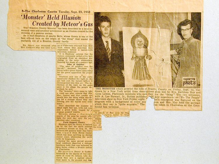
Important salt works were located at Bulltown and here, in 1772, Captain Bull and his family and friendly Delaware Indians were massacred by frontiersmen. Jesse Hughes helped Jeremiah Carpenter and track and kill the Indians responsible for the Carpenter massacre. Jeremiah was a notable fiddle player who wrote a song Shelvin’ Rock about the experience of escaping to rock shelter.
Geography
According to the U.S. Census Bureau, the county has a total area of 516 square miles (1,340 km2), of which 511 square miles (1,320 km2) is land and 5.5 square miles (14 km2) (1.1%) is water.
Major highways
Adjacent counties
2000 census
As of the census of 2000, there were 14,702 people, 5,771 households, and 4,097 families residing in the county. The population density was 29 people per square mile (11/km²). There were 7,374 housing units at an average density of 14 per square mile (6/km²). The racial makeup of the county was 98.02% White, 0.69% Black or African American, 0.35% Native American, 0.11% Asian, 0.05% Pacific Islander, 0.08% from other races, and 0.71% from two or more races. 0.44% of the population were Hispanic or Latino of any race.
There were 5,771 households out of which 30.30% had children under the age of 18 living with them, 57.30% were married couples living together, 9.20% had a female householder with no husband present, and 29.00% were non-families. 25.20% of all households were made up of individuals and 12.40% had someone living alone who was 65 years of age or older. The average household size was 2.46 and the average family size was 2.92.
In the county, the population was spread out with 22.80% under the age of 18, 7.50% from 18 to 24, 28.10% from 25 to 44, 25.80% from 45 to 64, and 15.80% who were 65 years of age or older. The median age was 40 years. For every 100 females there were 102.60 males. For every 100 females age 18 and over, there were 103.00 males.
The median income for a household in the county was $24,412, and the median income for a family was $29,133. Males had a median income of $27,560 versus $17,778 for females. The per capita income for the county was $13,349. About 17.90% of families and 22.00% of the population were below the poverty line, including 27.90% of those under age 18 and 13.70% of those age 65 or over.
2010 census
As of the 2010 United States Census, there were 14,523 people, 6,000 households, and 4,043 families residing in the county. The population density was 28.4 inhabitants per square mile (11.0/km2). There were 7,415 housing units at an average density of 14.5 per square mile (5.6/km2). The racial makeup of the county was 98.2% white, 0.4% black or African American, 0.3% American Indian, 0.2% Asian, 0.0% from other races, and 0.9% from two or more races. Those of Hispanic or Latino origin made up 0.5% of the population. In terms of ancestry, 19.7% were German, 15.0% were Irish, 11.7% were English, and 8.0% were American.
Of the 6,000 households, 28.0% had children under the age of 18 living with them, 52.8% were married couples living together, 9.5% had a female householder with no husband present, 32.6% were non-families, and 27.9% of all households were made up of individuals. The average household size was 2.36 and the average family size was 2.86. The median age was 43.8 years.
The median income for a household in the county was $32,158 and the median income for a family was $40,421. Males had a median income of $42,355 versus $22,557 for females. The per capita income for the county was $17,469. About 17.0% of families and 21.0% of the population were below the poverty line, including 30.4% of those under age 18 and 13.0% of those age 65 or over.