
Quadrant NW Elevation 683 m | Ward 2 & 3 | |
 | ||
Castle Downs is a residential area in the northwest portion of the City of Edmonton in Alberta, Canada. It was originally established in 1971 through Edmonton City Council's adoption of the Castle Downs Outline Plan, and then extended northward in 1983 through the adoption of the Caste Downs Extension Area Structure Plan. Combined, these two plans guide the overall development of the area.
Contents
Geography
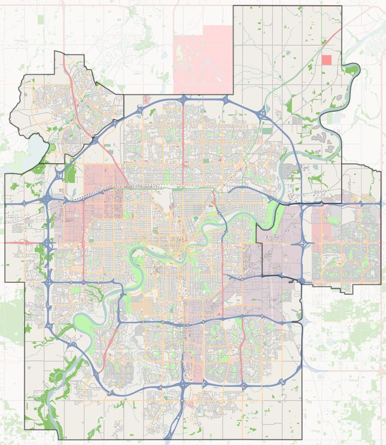
Located in northwest Edmonton, the Castle Downs area is bounded by 127 Street to the west and Anthony Henday Drive (Highway 216) to the north. On the east, it is bounded by 97 Street (Highway 28) to the north of 153 Avenue and Castle Downs Road (113A Street) to the south of 153 Avenue. On the south, it is bounded by 137 Avenue to the west of Castle Downs Road and 153 Avenue to the east of Castle Downs Road. The area is also bisected by 167 Avenue and 112 Street.
The Griesbach neighbourhood is located east of Castle Downs Road and south of 153 Avenue to the southeast. The Lake District (Edmonton North) area is located beyond 97 Street to the east, while the Kensington neighbourhood is beyond 137 Avenue to the south. The Palisades area is located across 127 Street to the west, while the future Goodridge Corners neighbourhood is beyond Anthony Henday Drive to the northwest. Sturgeon County is located beyond Goodridge Corners to the northwest and 1.2 km (0.75 mi) beyond Anthony Henday Drive to the north.
Neighbourhoods
The Castle Downs Outline Plan and the Castle Downs Extension Area Structure Plan originally planned for a combined 10 separate residential neighbourhoods. Today, Castle Downs includes the following 11 neighbourhoods:
Land use plans
In addition to the Castle Downs Outline Plan and the Castle Downs Extension Area Structure Plan, the following plans were adopted to further guide development of certain portions of the Castle Downs area: