
Quadrant NW Sector North Elevation 680 m | Ward 2 Area 96 ha Population 3,848 (2012) | |
 | ||
Carlisle is a residential neighbourhood in the Castledowns area of north west Edmonton, Alberta, Canada. The neighbourhood is named for Carlisle Castle in England.
Contents
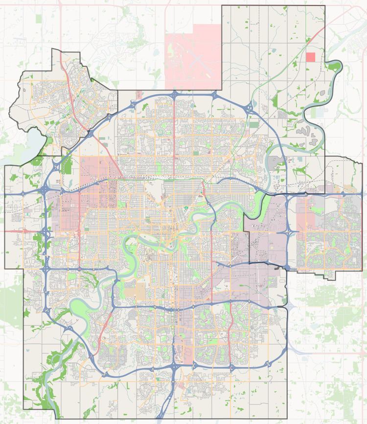
Map of Carlisle, Edmonton, AB, Canada
According to the 2001 federal census, three out of every four residences (74.1%) were constructed during the 1970s. Another one in five (20.7%) were constructed during the 1980s. While a few residences were constructed prior to 1970 and after 1990, substantially all the development of the neighbourhood was completed within these two decades.
Just over half (54%) of all the residences in the neighbourhood, according to the 2005 municipal census, are single-family dwellings. Another one in four (26%) are row houses. Approximately one in ten residences (11%) are duplexes and one in ten (10%) are rented apartments in low-rise buildings with fewer than five stories. Two out of every three (67%) of all residences are owner-occupied, with the remaining one in three (33%) being rented.
The population in Carlisle is somewhat mobile. According to the 2005 municipal census, one in eight (13.2%) of all residents had moved within the previous 12 months. Another one in four (22.5%) had moved within the previous one to three years. Just over half the residents (50.2%) had lived at the same address for five years or more.
There is a single school in the neighbourhood, St. Timothy Catholic Elementary School, operated the Edmonton Catholic School System.
It is bounded on the east by Castledowns Road, on the south by 137 Street and on the north by 145 Avenue. The west boundary follows a line located half a block west of 123 Street between 140 Avenue and 145 Avenue. At 140 Avenue, the boundary turns east until it reaches approximately 121 Street. At that point, it turns south again until it reaches 137 Avenue.
Demographics
In the City of Edmonton's 2012 municipal census, Carlisle had a population of 7003384800000000000♠3,848 living in 7003141300000000000♠1,413 dwellings, a -2.3% change from its 2009 population of 7003393900000000000♠3,939. With a land area of 0.96 km2 (0.37 sq mi), it had a population density of 7003400830000000000♠4,008.3 people/km2 in 2012.