Quadrant NW Sector North Area 73 ha | Ward 3 Elevation 684 m Population 2,064 (2012) | |
 | ||
Chambery is a new neighbourhood in the Castledowns area of north west Edmonton, Alberta, Canada. It is bounded on the west by 112 Street. The south boundary is half a block north of 173 A Avenue. To the north is Edmonton's Rural North West. It is named for the Château de Chambéry in France. Its location makes it ideal for persons working at CFB Edmonton, located just to the north of the city.
Contents
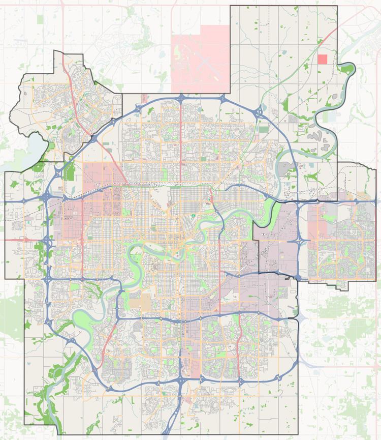
Map of Chambery, Edmonton, AB, Canada
According to the 2005 municipal census, there were fewer than 300 residences in the neighbourhood. All residences were owner-occupied single-family dwellings.
Demographics
In the City of Edmonton's 2012 municipal census, Chambery had a population of 7003206400000000000♠2,064 living in 7002644000000000000♠644 dwellings, a 21.8% change from its 2009 population of 7003169500000000000♠1,695. With a land area of 0.73 km2 (0.28 sq mi), it had a population density of 7003282740000000000♠2,827.4 people/km2 in 2012.
Surrounding neighbourhoods
I
