
Country United States GNIS feature ID 453162 Area 31.1 km² Population 347 (2010) | FIPS code 18-10666 Elevation 177 m Local time Sunday 10:54 PM | |
 | ||
Weather 12°C, Wind S at 23 km/h, 61% Humidity | ||
Cass Township is one of eleven townships in Clay County, Indiana. As of the 2010 census, its population was 347 and it contained 140 housing units.
Contents
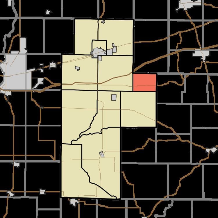
- Map of Cass Township IN USA
- History
- Geography
- Unincorporated towns
- Adjacent townships
- Major highways
- Cemeteries
- References
Map of Cass Township, IN, USA
History
Cass Township was organized in the 1840s. It was named for Lewis Cass.
The Indiana State Highway Bridge 42-11-3101 and Poland Presbyterian Church and Cemetery are listed on the National Register of Historic Places.
Geography
According to the 2010 census, the township has a total area of 12 square miles (31 km2), all land.
Unincorporated towns
(This list is based on USGS data and may include former settlements.)
Adjacent townships
Major highways
Cemeteries
The township contains 13 cemeteries: Cagle, Neir, Wilkinson-Nees, Poland Chapel, [Unnamed]. Anderson, Cromwell, Rizley, Old Mace, Dyer-Schopple, Syster, Union, & Latham-Lucas.
References
Cass Township, Clay County, Indiana Wikipedia(Text) CC BY-SA