
Country United States Time zone CST (UTC-6) Elevation 192 m Local time Sunday 9:55 PM | Established November 6, 1849 ZIP codes 61427, 61477, 61542 Area 102.4 km² Population 622 (2010) | |
 | ||
Weather 12°C, Wind S at 27 km/h, 77% Humidity | ||
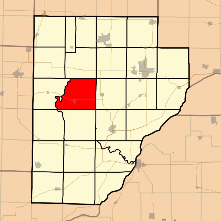
Cass Township is one of twenty-six townships in Fulton County, Illinois, USA. As of the 2010 census, its population was 622 and it contained 271 housing units.
Contents
- Map of Cass Township IL USA
- Geography
- Cities towns villages
- Unincorporated towns
- Cemeteries
- Major highways
- School districts
- Political districts
- References
Map of Cass Township, IL, USA
Geography
According to the 2010 census, the township has a total area of 39.55 square miles (102.4 km2), of which 39.4 square miles (102 km2) (or 99.62%) is land and 0.15 square miles (0.39 km2) (or 0.38%) is water.
Cities, towns, villages
Unincorporated towns
(This list is based on USGS data and may include former settlements.)
Cemeteries
The township contains these six cemeteries: Baughman, Buckeye, Fuller, Henderson, Howard and Sinnett Chapel.
Major highways
School districts
Political districts
References
Cass Township, Fulton County, Illinois Wikipedia(Text) CC BY-SA