
Population 785 (2011) Civil parish Carleton Rode Area 10.91 km² | OS grid reference TM114926 Sovereign state United Kingdom Local time Friday 10:51 AM | |
 | ||
Weather 6°C, Wind SE at 19 km/h, 90% Humidity | ||
Carleton Rode is a village (2011 population 785) in Norfolk, England, situated approximately five miles south-east of Attleborough. The village is extremely rural and is spread out over 10.91 square kilometres (4.21 sq mi).[1]
Contents
Map of Carleton Rode, UK
Carleton Rode Voluntary Aided Primary School is, according to a proclamation inside the school, the oldest non-fee paying school in Norfolk.
History
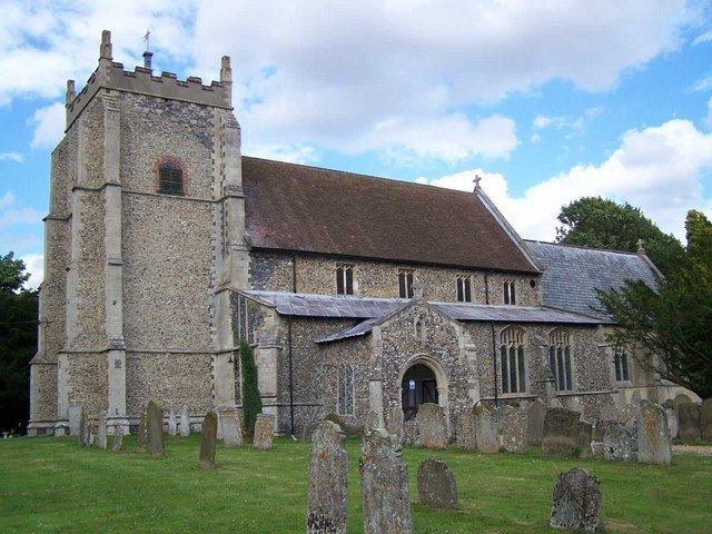
One of the earliest mentions of this place is in the Domesday book where it is mentioned amongst the lands given to Roger Bigod [2] by the King. The manor given to Roger[3] included 30 acres (120,000 m2) of land and two churches. It has some of the oldest buildings in the whole part of England making it a treasure. From 1808 to 1814 Carleton Rode hosted a station in the shutter telegraph chain which connected the Admiralty in London to its naval ships in the port of Great Yarmouth.
Sport
Carleton Rode is also home to the GP2 team iSport.