
OS grid reference TF9494002230 Dialling code 01953 | Area 12.66 km² | |
 | ||
Population 1,176 (2001 census)2,073 (2011) | ||
Carbrooke is a village and civil parish in the Breckland district of mid-Norfolk, East Anglia, England in the United Kingdom. It is 3 miles (4.8 km) from the centre of Watton, 8 miles (13 km) from Dereham and 17 miles (27 km) from its postal town of Thetford. It has an area of 12.66 km2 (4.89 sq mi) with an estimated population of 1,310 in 2007. The measured population at the Census 2011 was 2,076.
Map of Carbrooke, UK
It has a village hall, with plans for a new one, hosting among other things The Village Social Group.
The local church is St Peter & St Paul in the Benefice of Watton.
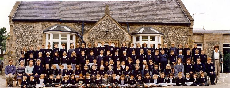
The local school is St Peter & St Paul VC Primary School.
References
Carbrooke Wikipedia(Text) CC BY-SA