
 | ||
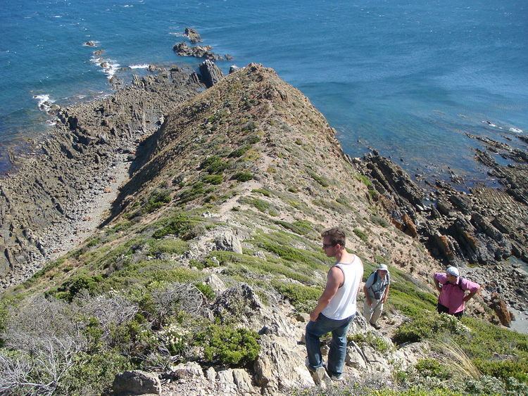
Cape Liptrap coastal park is located in south Gippsland, Victoria and is a peninsula that is the extension of the Hoddle Range that runs out to sea. It was sighted by Lieutenant James Grant on 9 December 1800 from the survey brig HMS Lady Nelson and named after John Liptrap.
Contents
Cape Liptrap sits high above the Bass Strait with steep cliffs of folded marine sediments flanked by rock pinnacles and wave cut platforms. At the end of the peninsula is Cape Liptrap Lighthouse that was built in 1951 in cast concrete, and is octagonal in shape.
Surrounding TownshipsEdit
On the eastern side of Cape Liptrap is Waratah Bay, Wilsons Promontory and the townships of Sandy Point, Waratah and Walkerville.
On the western side is Venus Bay, the Tarwin River and the townships of Tarwin Lower, Inverloch and Wonthaggi.
GeographyEdit
Waratah Bay is located approximately 200km south east of Melbourne, Latitude 38° 54' 5" S, Longitude 145° 55' 4" E