
Basin countries Australia Primary outflow Bass Strait | Primary outflows Bass Strait Frozen never | |
 | ||
Similar Cape Liptrap, Shallow Inlet, Wilsons Promontory, Cape Liptrap Coastal P, Wilsons Promontory National | ||
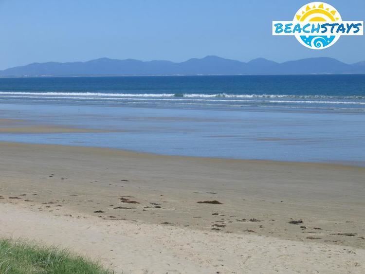
Waratah bay december 2016
The Waratah Bay is located in south Gippsland, Victoria. The bay is an arc of almost 20 kilometres of flat sandy beach framed by Cape Liptrap to the west and Wilsons Promontory in the east.
Contents
- Waratah bay december 2016
- Map of Waratah Bay Victoria Australia
- Surrounding townships
- Attractions
- References
Map of Waratah Bay, Victoria, Australia
Surrounding townships
Waratah Bay is approximately 200 kilometres (120 mi) south east of Melbourne.
The townships of Sandy Point, Waratah Bay and Walkerville are all located on the bay. Because of its proximity to Wilsons Promontory, a wide variety of sealife can be found in the rockpools along the shoreline. Some of these include sea urchins, crabs and octopuses.
Attractions
There are resorts around the coast. In recent years, whales like Humpback and Southern Right Whale are increasingly visiting the bay areas as whale numbers increase and re-colonize into former habitat of Waratah Bay. Especially the Right Whales will be a big feature in winter to spring seasons as areas adjacent to Melbourne was used to be historical wintering/calving grounds. Endemic Burrunan dolphins and Common Dolphins that are resident in Port Phillip Bay may swim close to shores as well.