
 | ||
Location 0.7 km (0 mi) west of Cape Jervis | ||
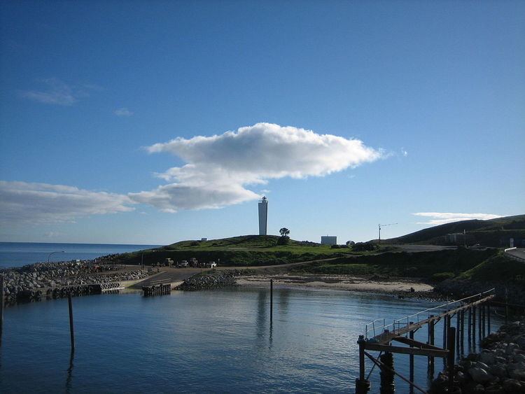
Cape Jervis is a headland located at the most westerly part of the Fleurieu Peninsula on the east coast of Gulf St Vincent in South Australia about 0.7 kilometres (0.43 mi) west of the town of the same name, Cape Jervis. It is the eastern end of the opening to Gulf St Vincent. The cape is described by one source as being:
...a high bold headland having but little vegetation. It is intersected by gullies and has several cliffy projections. The W, and most prominent, of these projections, referred to as The Cape, does not present so steep a face to the sea as the other projections, but slopes down, gradually, from the heights inland, of which Tree Hill, 345 metres (1,132 ft) high, 3 nautical miles (5.6 km; 3.5 mi) ESE of Cape Jervis, is the most prominent.
It was named by Matthew Flinders after John Jervis, 1st Earl of St Vincent on 23 March 1802. Since 1871, it has been the site of a navigation aid in the form of a lighthouse. Immediately south of the lighthouse, there is a boat harbor with a jetty of 120 metres (390 ft) length which serves as the port used by Kangaroo Island SeaLink who operates the ferry service to Penneshaw on Kangaroo Island. Since 2012, the waters adjoining its shoreline are within the Encounter Marine Park.