Population 16,644 (2011 census) LGA(s) Redland City Postal code 4157 | Postcode(s) 4157 Capalaba Alexandra Hills Local time Thursday 1:54 AM | |
 | ||
Weather 20°C, Wind S at 10 km/h, 74% Humidity | ||
Capalaba /kəˈpæləbɑː/ is a suburb to the south-east of Brisbane, Queensland, Australia, located in the Redland City local government area.
Contents
Map of Capalaba QLD 4157, Australia
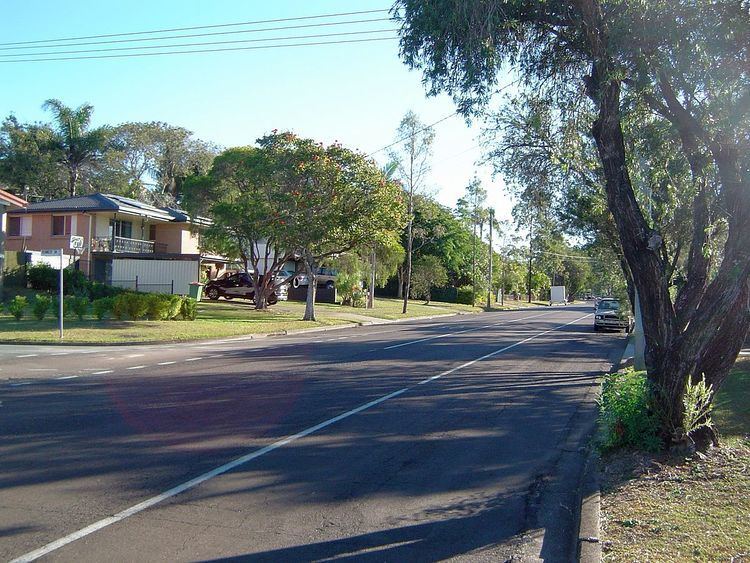
The suburb has large shopping and commercial centres with two malls and a major bus station, as well as light industrial zones surrounded by bushland and residential streets, making it the second most populous suburb in the Redlands. Surrounding suburbs include Alexandra Hills, Birkdale, and Sheldon, also in Redland City, along with Burbank and Chandler (and formerly Capalaba West), which lie within Brisbane.
Tingalpa Creek marks the border between Capalaba in the east and the City of Brisbane in the west, making the suburb a gateway to the coastal Redlands region for urban Brisbanites.
History
The name of Capalaba is believed to be derived from the Indigenous Yugarabul word for the ringtail possum, a marsupial native to the area.
European settlement began in the 1850s, led by farmers, lumberjacks, and sawmill operators. The region soon became important in the overland trade link between the settlements of Brisbane and Cleveland. Crossings and bridges over Tingalpa Creek were established to facilitate such transport.
The suburb grew into the 20th century, becoming a major source of freshwater for the then Redland Shire in the 1960s, due to the construction of the Leslie Harrison Dam. This prompted further population growth, and the introduction of commercial and industrial areas still present today.
Capalaba West was a related suburb located on the opposite side of Tingalpa Creek, rendering it part of Brisbane rather than the Redlands. It retained the Capalaba name until 2010, when it became incorporated into the Brisbane suburb of Chandler.
Demographics
In the 2011 Census, the population of Capalaba was 16,644, of which 50.5% were female and 49.5% were male. The median age of the Capalaba population was 36 years, 1 year below the national median of 37.
76.1% of people living in Capalaba were born in Australia. The other top responses for country of birth were New Zealand (6.1%), England (4.7%), South Africa (1.0%), Scotland (0.9%), and the Philippines (0.6%). 90.3% of people speak English as their first language, with Turkish, German, Hindi, Italian, and Greek each being spoken by 0.4% of the population.
Features
Major commercial and educational features of Capalaba include:
Transport
The Capalaba bus station connects the suburb to much of the Redlands and Eastern Brisbane. Services to Garden City bus station and the adjacent Upper Mount Gravatt busway station are operated by Mt Gravatt Bus Service, on behalf of TransLink. The suburb is also connected west to Carindale bus station and the Brisbane central business district, north to the Cleveland railway line, and east to Victoria Point bus station, through bus routes operated by Transdev Queensland on behalf of TransLink.
TransLink's Eastern Busway is planned to extend from UQ Lakes to Capalaba, but currently only reaches Langlands Park busway station in Coorparoo.
Capalaba is also the terminus for major roads crossing Tingalpa Creek from the City of Brisbane, including Old Cleveland Road and Mount Gravatt-Capalaba Road/Mount Cotton Road, both connecting directly to the Gateway Motorway.
