
Type Road | Length 26.5 km (16 mi) | |
 | ||
Route number(s) Via Lgas City of Brisbane, Redland City | ||
Condev construction mount cotton road 21 september 2015 capalaba qld drone video
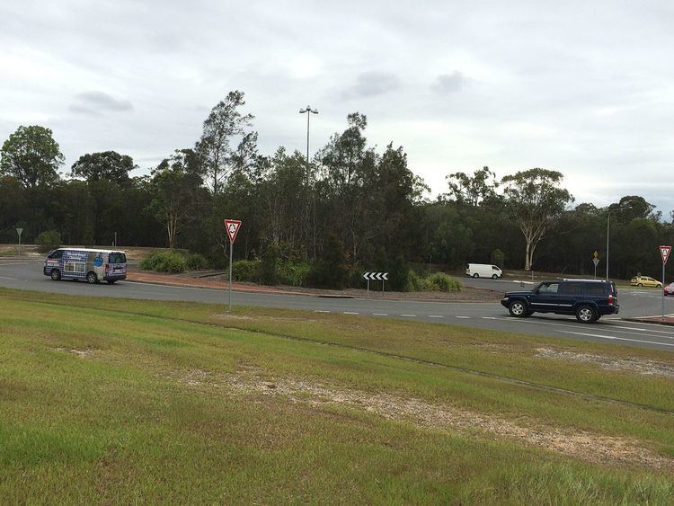
Mount Cotton Road, or Mt Cotton Rd, is a major split road in the Brisbane area of South East Queensland. It runs in both an east-west direction between Burbank (Brisbane) and Sheldon (Redlands), and a north-south direction between Capalaba (Redlands) and Carbrook (Logan). In total, the road is approximately 26.5 kilometres (16.5 mi) long, and is split at a three-way roundabout.
Contents
- Condev construction mount cotton road 21 september 2015 capalaba qld drone video
- Map of Mount Cotton Rd Queensland Australia
- History
- Landmarks
- References
Map of Mount Cotton Rd, Queensland, Australia
The road is notable for connecting three adjacent local government areas of Queensland: the City of Brisbane, Redland City, and the City of Logan. As there are no highways in this region east of the Gateway and Pacific Motorways, Mount Cotton Road often provides the fastest link between the three cities (more so regarding the south-east of Brisbane and north-east of Logan).
History
The branching segments of Mount Cotton Road were originally known by multiple different names. The Burbank segment, west of the aforementioned roundabout, was once known as Broadwater Road, while the resulting northern branch was known as Capalaba School Road.
Initially, Mount Cotton Road would have referred to the path travelled by the earliest colonial settlers of Mount Cotton in the mid-1800s. As the surrounding region grew and became better-connected, the name spread to some adjoining roads, causing the multi-branched structure of Mount Cotton Rd today.
Much of the road was once surrounded by farmland. This was gradually replaced with residential properties, prompting the roadside construction of: the Carbrook Lutheran Cemetery and Church in the 1870s; Capalaba State School in 1880; telephone lines, a community hall, and an avicultural farm in 1935-36; a store and post office in 1948; a Salvation Army hall in 1960; and Capalaba Park Shopping Centre in 1981.
With the construction of the Leslie Harrison Dam in the 1960s, the portions of the road near Tingalpa Creek were upgraded.
Sections of Mt Cotton Rd have since been identified as dangerous driving areas, due to high incidences of crashes with other cars and wallabies, leading to investigations in recent years.
Landmarks
Significant remaining structures and natural landmarks located along Mount Cotton Road include: