
- left Priest Gully | Basin area 150 km² | |
 | ||
Similar Leslie Harrison Dam, Venman Bushland National, Bulimba Creek, Oxley Creek, Norman Creek | ||
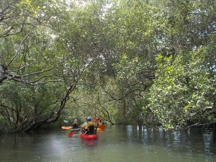
Tingalpa creek shark and wellington point snapper fishing on dragon kayak
Tingalpa Creek is a creek in South East Queensland. It flows along Brisbane's south east boundary with Redland City Council. On early maps the creek was called both Tunim Creek and Tangulba Creek.
Contents
- Tingalpa creek shark and wellington point snapper fishing on dragon kayak
- Map of Tingalpa Creek Queensland Australia
- Lazy paddle around tingalpa creek qld au
- References
Map of Tingalpa Creek, Queensland, Australia
The waterway serves as important wildlife corridor on the city's fringe. The creek also provides limited kayaking and fishing opportunities. The creek's water catchment area covers 150 km².
Tingalpa Creek has its headwaters in Venman Bushland National Park at Mount Cotton and the Brisbane Koala Park in Burbank. It then flows a short distance through Sheldon to the waters of the Leslie Harrison Dam.
The creek below the dam, now tidal, continues along its winding course through Capalaba West, Birkdale and Ransome. In this area the creek which is popular with recreational anglers, is bordered by the Capalaba Regional Park, John Fredericks Park, Sciacca Sportsfield to the east and Tingalpa Creek Reserve on its western side.
The Cleveland railway line crosses the creek before it flows to Moreton Bay at Thorneside, Queensland.
Local council have developed a Tingalpa Creek Waterway Management Plan to coordinate management practices.