
Country United States Time zone CST (UTC-6) Elevation 206 m Population 15,703 (2010) | Established November 6, 1849 ZIP codes 61427, 61520, 61531 Local time Wednesday 6:17 AM | |
 | ||
Weather 3°C, Wind SW at 16 km/h, 60% Humidity University Graham Hospital School of Nursing | ||
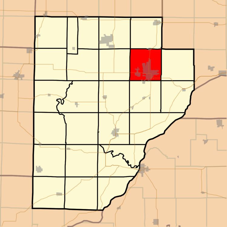
Canton Township is one of twenty-six townships in Fulton County, Illinois, USA. As of the 2010 census, its population was 15,703 and it contained 6,376 housing units.
Contents
- Map of Canton Township IL USA
- Geography
- Cities towns villages
- Unincorporated towns
- Cemeteries
- Major highways
- Airports and landing strips
- Lakes
- Landmarks
- School districts
- Political districts
- References
Map of Canton Township, IL, USA
Geography
According to the 2010 census, the township has a total area of 35.64 square miles (92.3 km2), of which 34.74 square miles (90.0 km2) (or 97.47%) is land and 0.9 square miles (2.3 km2) (or 2.53%) is water.
Cities, towns, villages
Unincorporated towns
(This list is based on USGS data and may include former settlements.)
Cemeteries
The township contains these seven cemeteries: Greenwood, Hanson, Johnson, Norris, Saint Josephs, Saint Marys and White Chapel.
Major highways
Airports and landing strips
Lakes
Landmarks
School districts
Political districts
References
Canton Township, Fulton County, Illinois Wikipedia(Text) CC BY-SA