
- elevation 5,157 ft (1,572 m) - elevation 0 ft (0 m) | ||
 | ||
Borough | ||
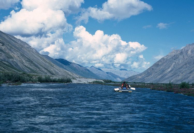
The Canning River flows through parts of the North Slope in the U.S. state of Alaska. The river begins in the Franklin Mountains of the Brooks Range in the northeastern part of the state. It flows generally north for 125 miles (201 km) through the Arctic National Wildlife Refuge and enters Camden Bay west of Kaktovik on the Beaufort Sea.
Map of Canning River, Alaska, USA
References
Canning River (Alaska) Wikipedia(Text) CC BY-SA