
Time zone EST (UTC-5) Elevation 10 m Local time Tuesday 10:11 AM | Established 1869 Area code(s) +53-23 Area 577 km² Population 46,092 (2004) | |
 | ||
Weather 27°C, Wind NE at 29 km/h, 55% Humidity | ||
Campechuela is a municipality and town in Granma Province of Cuba. It is located on the southern shore of the Gulf of Guacanayabo.
Contents
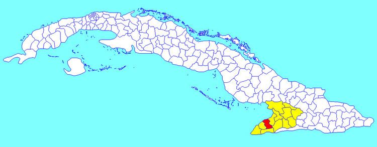
Map of Campechuela, Cuba
Overview
The municipality is divided into the barrios of Cabecera, Ceiba Hueca, Cienaguilla, La Gloria, San Ramón and Tana.
The town of Campechuela was founded in 1869. It became the seat of the municipality in 1912.
The economy is based on agriculture (with sugarcane and fruit farms) and stock raising.
Demographics
In 2004, the municipality of Campechuela had a population of 46,092. With a total area of 577 km2 (223 sq mi), it has a population density of 79.9/km2 (207/sq mi).
References
Campechuela Wikipedia(Text) CC BY-SA