
Canton Tardets-Sorholus Area 10.08 km² Population 107 (2006) | Local time Tuesday 12:24 PM | |
 | ||
Weather 11°C, Wind SW at 5 km/h, 80% Humidity | ||
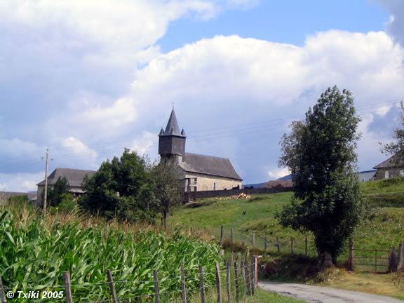
Camou-Cihigue (Basque: Gamere-Zihiga) is a commune in the Pyrénées-Atlantiques department in south-western France.
Contents
Map of 64470 Camou-Cihigue, France
It is located in the former province of Soule.
Geography
Neughboring communes:
History
The commune of Camou-Cihigue was formed in 1836, from the merger of the former commune of Camou Merged and the village of Cihigue.
References
Camou-Cihigue Wikipedia(Text) CC BY-SA