
Area 3,998 km² | UBIGEO 0402 Capital Camaná | |
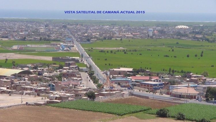 | ||
Camaná is a province in the Arequipa Region, Peru. It borders the provinces of Caravelí, Condesuyos, Castilla, Caylloma, Arequipa and Islay.
Contents
Map of Caman%C3%A1 Province, Peru
The province was struck by the 2001 southern Peru earthquake, which occurred on June 23, 2001.
Political division
The province is divided into eight districts (Spanish: distritos, singular: distrito):
Ethnic groups
The province is inhabited by indigenous citizens of Quechua descent. Spanish is the language which the majority of the population (84.02%) learnt to speak in childhood, 13.30% of the residents started speaking using the Quechua language and 2.57% using Aymara (2007 Peru Census).
References
Camaná Province Wikipedia(Text) CC BY-SA