
Country United States Incorporated 1851 Elevation 338 m Zip code 16213 Population 202 (2013) | Settled 1826 Time zone Eastern (EST) (UTC-5) Area 40 ha Local time Monday 3:04 PM | |
 | ||
Weather 12°C, Wind S at 18 km/h, 59% Humidity | ||
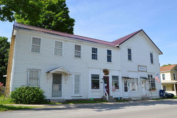
Callensburg is a borough in Clarion County, Pennsylvania, United States. The population was 207 at the 2010 census.
Contents
Map of Callensburg, PA 16049, USA
Geography
Callensburg is located in western Clarion County at 41°7′33″N 79°33′28″W (41.125698, -79.557682). It is situated on a hill overlooking the confluence of Licking Creek with the Clarion River, part of the Allegheny River watershed.
Pennsylvania Route 368 passes through the center of Callensburg, leading west 7 miles (11 km) to Parker on the Allegheny River. Just east of Callensburg, PA 368 ends at Pennsylvania Route 58, which leads east 3 miles (5 km) to Sligo and northwest 7 miles (11 km) to St. Petersburg, which is 2 miles (3 km) south of Interstate 80.
According to the United States Census Bureau, Callensburg has a total area of 0.2 square miles (0.4 km2), all of it land.
History
Callensburg was surveyed in 1826, by Hugh Callen, Sr., who commissioned a young surveyor named Sidle Lobaugh to lay out a town on part of the 300 acres he had purchased in 1812. Callen anticipated the building of the Pennsylvania Canal through that region, and while the eventual route of the canal did not pass near Callensburg, the area still attracted enough settlers to form a borough. It was incorporated in 1851, and held the first town election on March 21, 1851.
In laying out the town, Mr. Callen reserved three acres for building a Presbyterian Church and cemetery, and deeded an open lot north of Main street, where the town spring was located, to the town. He built his house south of Licking Township, where local legend claimed there was a large poplar tree:
"This tree grew from a twig used by Mr. Callen as a riding whip. On his return from church at Concord one Sunday he stuck the whip into the ground, and this lone poplar stands today as a monument to the piety of him who planted it."
Demographics
As of the census of 2000, there were 224 people, 96 households, and 54 families residing in the borough. The population density was 1,489.9 people per square mile (576.6/km²). There were 100 housing units at an average density of 665.1 per square mile (257.4/km²). The racial makeup of the borough was 99.55% White, and 0.45% from two or more races. Hispanic or Latino of any race were 0.89% of the population.
There were 96 households, out of which 26.0% had children under the age of 18 living with them, 46.9% were married couples living together, 7.3% had a female householder with no husband present, and 43.8% were non-families. 34.4% of all households were made up of individuals, and 17.7% had someone living alone who was 65 years of age or older. The average household size was 2.33 and the average family size was 3.20.
In the borough the population was spread out, with 22.8% under the age of 18, 11.6% from 18 to 24, 27.2% from 25 to 44, 25.4% from 45 to 64, and 12.9% who were 65 years of age or older. The median age was 37 years. For every 100 females there were 91.5 males. For every 100 females age 18 and over, there were 92.2 males.
The median income for a household in the borough was $28,000, and the median income for a family was $37,083. Males had a median income of $29,375 versus $19,583 for females. The per capita income for the borough was $13,654. About 17.3% of families and 24.3% of the population were below the poverty line, including 38.5% of those under the age of eighteen and 36.7% of those sixty five or over.