
Existed: 1935 – present Length 172.2 km | Constructed 1935 | |
 | ||
West end: SR 273 / SR 299 in Redding | ||
State Route 44 (SR 44) is a state highway in the U.S. State of California that travels in an east–west direction from Redding to Lassen Volcanic National Park before ending at Route 36 west of Susanville. This final portion, between the park and its terminus, is part of the Volcanic Legacy Scenic Byway, a National Scenic Byway.
Contents
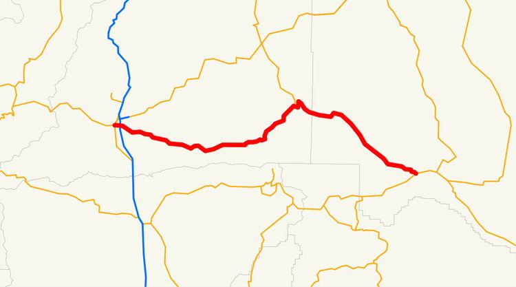
Map of CA-44, California, USA
Route description
This route is part of the California Freeway and Expressway System and is eligible for the State Scenic Highway System. However, it is not a scenic route as designated by Caltrans.
Route 44 starts on Tehama Street in Redding, at the intersection of Route 273 (Market Street), despite what it says in its legal definition. This is because in 1998, Route 299's definition was changed. It previously ran on Tehama St. to I-5, but this portion was transferred to Route 44 in 1998 (44 had ended at I-5 at that time); however, the legislative definition has never changed, so it is unclear as to where Route 44 officially begins. Note also that the postmile markers have not been updated, so the Route 44–I-5 interchange is still marked as 0.00.
After a few blocks, it becomes a freeway as it crosses I-5 and changes back to a highway at the Redding city limits. Heading eastward, Route 44 passes through a number of small, rural communities (Palo Cedro, Millville, Shingletown, to name a few) before it reaches the north-west entrance to Lassen National Park. After this, the only community it passes through is Old Station, which is also the only location for travel services until Susanville.
From the Park entrance, Route 44 joins the Volcanic Legacy Scenic Byway. Route 44 is part of a circular portion of the Scenic Byway, so at the junction with Route 89, the Byway continues along both 89 to the north and on 44 to the east. When Route 44 reaches its terminus at Route 36, the byway heads southwest to continue its circular path.
Between the Route 89 intersection and Route 36 is only one rest area, called Bogard.
Major intersections
Except where prefixed with a letter, postmiles were measured on the road as it was in 1964, based on the alignment that existed at the time, and do not necessarily reflect current mileage. R reflects a realignment in the route since then, M indicates a second realignment, L refers an overlap due to a correction or change, and T indicates postmiles classified as temporary (for a full list of prefixes, see the list of postmile definitions). Segments that remain unconstructed or have been relinquished to local control may be omitted. The numbers reset at county lines; the start and end postmiles in each county are given in the county column.