
County Shasta FIPS code 06-47724 Elevation 155 m Zip code 96062 Population 727 (2010) | Time zone Pacific (PST) (UTC-8) GNIS feature ID 0228775 Area 21.27 km² Area code Area code 530 | |
 | ||
Neighborhoods Wilkinson, Pawnee, Smith, Wagoner | ||
9735 sunnywood dr millville california
Millville is a census-designated place (CDP) in Shasta County, California, United States. The population was 727 at the 2010 census, up from 610 at the 2000 census.
Contents
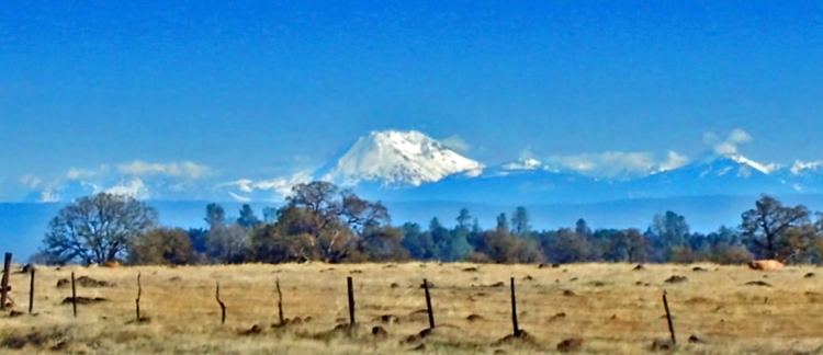
- 9735 sunnywood dr millville california
- Map of Millville CA USA
- sold sprig rd millville california
- Geography
- 2010
- 2000
- Politics
- References
Map of Millville, CA, USA
sold sprig rd millville california
Geography
Millville is located at 40°33′21″N 122°11′7″W (40.555904, -122.185250).
According to the United States Census Bureau, the CDP has a total area of 8.2 square miles (21 km2), 97.96% of it land and 2.04% of it water.
2010
The 2010 United States Census reported that Millville had a population of 727. The population density was 88.5 people per square mile (34.2/km²). The racial makeup of Millville was 673 (92.6%) White, 0 (0.0%) African American, 6 (0.8%) Native American, 6 (0.8%) Asian, 1 (0.1%) Pacific Islander, 22 (3.0%) from other races, and 19 (2.6%) from two or more races. Hispanic or Latino of any race were 50 persons (6.9%).
The Census reported that 727 people (100% of the population) lived in households, 0 (0%) lived in non-institutionalized group quarters, and 0 (0%) were institutionalized.
There were 268 households, out of which 95 (35.4%) had children under the age of 18 living in them, 180 (67.2%) were opposite-sex married couples living together, 24 (9.0%) had a female householder with no husband present, 11 (4.1%) had a male householder with no wife present. There were 8 (3.0%) unmarried opposite-sex partnerships, and 3 (1.1%) same-sex married couples or partnerships. 44 households (16.4%) were made up of individuals and 24 (9.0%) had someone living alone who was 65 years of age or older. The average household size was 2.71. There were 215 families (80.2% of all households); the average family size was 3.05.
The population was spread out with 178 people (24.5%) under the age of 18, 42 people (5.8%) aged 18 to 24, 126 people (17.3%) aged 25 to 44, 246 people (33.8%) aged 45 to 64, and 135 people (18.6%) who were 65 years of age or older. The median age was 47.4 years. For every 100 females there were 93.9 males. For every 100 females age 18 and over, there were 94.0 males.
There were 287 housing units at an average density of 34.9 per square mile (13.5/km²), of which 230 (85.8%) were owner-occupied, and 38 (14.2%) were occupied by renters. The homeowner vacancy rate was 1.7%; the rental vacancy rate was 5.0%. 623 people (85.7% of the population) lived in owner-occupied housing units and 104 people (14.3%) lived in rental housing units.
2000
As of the census of 2000, there were 610 people, 217 households, and 182 families residing in the CDP. The population density was 73.8 people per square mile (28.5/km²). There were 229 housing units at an average density of 27.7 per square mile (10.7/km²). The racial makeup of the CDP was 95.41% White, 0.16% Native American, 1.15% Asian, 0.66% from other races, and 2.62% from two or more races. Hispanic or Latino of any race were 2.79% of the population.
There were 217 households out of which 34.1% had children under the age of 18 living with them, 75.6% were married couples living together, 5.1% had a female householder with no husband present, and 16.1% were non-families. 12.4% of all households were made up of individuals and 4.6% had someone living alone who was 65 years of age or older. The average household size was 2.81 and the average family size was 3.05.
In the CDP, the population was spread out with 26.4% under the age of 18, 5.4% from 18 to 24, 20.3% from 25 to 44, 33.3% from 45 to 64, and 14.6% who were 65 years of age or older. The median age was 44 years. For every 100 females there were 94.3 males. For every 100 females age 18 and over, there were 95.2 males.
The median income for a household in the CDP was $51,406, and the median income for a family was $53,000. Males had a median income of $41,917 versus $27,031 for females. The per capita income for the CDP was $27,218. About 5.9% of families and 7.9% of the population were below the poverty line, including 12.1% of those under age 18 and 2.7% of those age 65 or over.
Politics
In the state legislature Millville is in the 1st Senate District, represented by Republican Ted Gaines, and the 1st Assembly District, represented by Republican Brian Dahle.
Federally, Millville is in California's 1st congressional district, represented by Republican Doug LaMalfa.