
West end: SR 79 in Aguanga Length 33.4 km | ||
 | ||
Existed: 1974 (from SR 71) – present | ||
State Route 371 (SR 371) is a state highway in the U.S. state of California, serving as a short connector from SR 79 near Aguanga to SR 74 near Anza. It is a heavily used shortcut from southwestern Riverside County to the Coachella Valley via SR 74. This was part of SR 71 until 1973, when SR 79 and SR 71 were co-signed from Aguanga to Temecula. In 1974, the portion of SR 71 from Temecula to Corona along I-15's current alignment was deleted and the orphaned route from Aguanga to Anza was re-signed as SR 371.
Contents
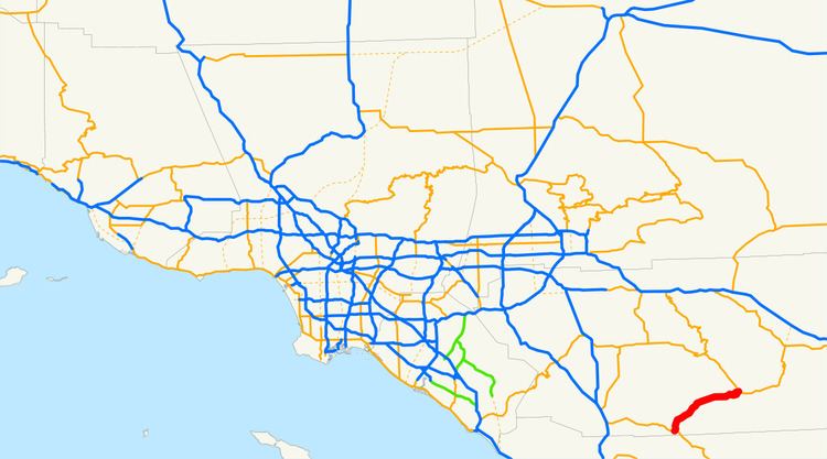
Map of CA-371, California, USA
SR 371 is the main highway crossing through the communities of Anza and Aguanga and connects both towns. SR 371 crosses through the private community of Lake Riverside, as well as the Cahuilla Indian Reservation. It is one of the most populated roads running through the town of Anza but mostly runs through rural areas. The highway is often plagued by shutdowns due to snow, ice, wind, and wildfires, which occasionally causes the closing of the local schools.
Route description
SR 371 begins as Cahuilla Road at the intersection with SR 79. It travels northeast away from the community of Aguanga, loosely paralleling Tule Creek for the first few miles. SR 371 continues through the Lake Riverside community, crossing over the outflow of Lake Riverside. The highway enters the Cahuilla Indian Reservation and passes by the Cahuilla Creek Casino in Cahuilla before passing through the community of Anza. SR 371 briefly becomes Kenworthy Bautista Road and parallels Hamilton Creek as it enters the San Bernardino National Forest before terminating at SR 74.
History
Route 277 from Temecula to Anza was added to the state highway system in 1959. In the 1964 state highway renumbering, the part from US 395 to SR 74 was included as part of SR 71. In 1974, the part from near Aguanga to SR 74 became SR 371.
Before 2003, the intersection with SR 79 was a very dangerous one, as northbound SR 79 traffic had to stop at a stop sign and there was no such sign for southbound SR 79 traffic or for SR 371 traffic headed towards its western terminus. Now, there are stop signs in every direction at that intersection.
Major intersections
Except where prefixed with a letter, postmiles were measured on the road as it was in 1964, based on the alignment of State Route 71 as it existed at that time, and do not necessarily reflect current mileage. R reflects a realignment in the route since then, M indicates a second realignment, L refers an overlap due to a correction or change, and T indicates postmiles classified as temporary (for a full list of prefixes, see the list of postmile definitions). Segments that remain unconstructed or have been relinquished to local control may be omitted. The entire route is in Riverside County.