
Existed: 1987 – present Length 9.85 km | Constructed 1999 | |
 | ||
South end: Walnut Avenue in Irvine, California | ||
State Route 261 (SR 261) is a tollway in the U.S. state of California that is part of the Eastern Transportation Corridor system. It connects State Route 241 with Interstate 5. However, Route 261 does not directly connect with I-5; surface streets must be used to make the connection; continuing south on Route 261 leads directly into a high-speed controlled-access portion of Jamboree Road.
Contents
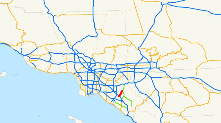
Map of CA-261, Irvine, CA, USA
Route description
SR 261 is part of the California Freeway and Expressway System.
The southern end of SR 261 is at an interchange with Jamboree Road near Walnut Avenue. SR 261 passes under I-5 but does not have an interchange with it. The freeway continues next to The Market Place, a mall in Irvine, before going through a toll plaza after the Irvine Boulevard interchange. Following this is the Portola Parkway exit, after which SR 261 briefly enters the city of Orange and has an interchange with Santiago Canyon Road (CR S18). In the middle of this interchange, SR 261 merges with SR 241; the latter continues north towards SR 91.
History
The California State Legislature added SR 231 to the state highway system in 1988; it was a route from I-5 around the Tustin–Irvine boundary to SR 91. In 1991, the Legislature renumbered part of SR 231 to be SR 261. Five years later, SR 231 was renumbered to SR 241, and the southern terminus with I-5 was changed to become Walnut Avenue.
Tolls
SR 261 employs a barrier toll system, where drivers are charged flat-rate tolls based on what particular toll booths they pass through. There is one mainline toll plaza and toll booths at selected on- and off-ramps. The toll road is equipped with the FasTrak electronic toll collection system. Patrons paying by cash are charged a more expensive rate.
Since May 13, 2014, the road has been using an all-electronic, open road tolling system; cash is no longer being accepted. Drivers may pay using the FasTrak electronic toll collection system, license plate tolling (under Transportation Corridor Agencies's brand name "ExpressAccount"), or via a one time payment online. Those using Fastrak are charged a lower toll than those using the other two methods. Drivers must pay within 5 days after their trip on the toll road or they will accessed a toll violation.
The following table lists the tolls at each of the tolled exits for passenger cars and other two-axle vehicles (as of July 1, 2015). Vehicles with more than two axles pay a higher toll at the Irvine Ranch Toll Plaza.
Exit list
Except where prefixed with a letter, postmiles were measured on the road as it was when the route was established, based on the alignment that existed at the time, and do not necessarily reflect current mileage. R reflects a realignment in the route since then, M indicates a second realignment, L refers an overlap due to a correction or change, and T indicates postmiles classified as temporary (for a full list of prefixes, see the list of postmile definitions). Segments that remain unconstructed or have been relinquished to local control may be omitted. The entire route is in Orange County.