
 | ||
To Santiago Canyon Road (CR S18) | ||
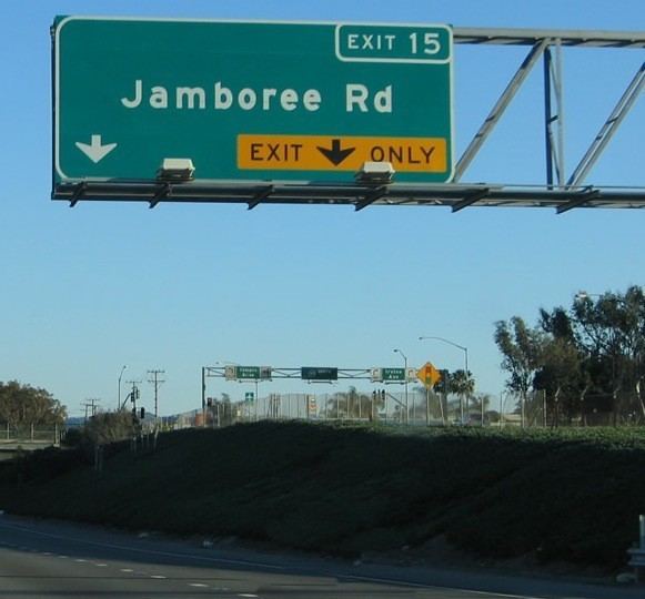
Jamboree Road is a major route through Orange County, California.
Contents
Map of Jamboree Rd, California, USA
Route description
The southern terminus of Jamboree Road is at Bayside Drive, immediately before Balboa Island. It changes names, into Marine Ave., to make the very short journey over the water that separates Balboa from Newport Beach. The road enters Irvine after the MacArthur Blvd/Jamboree Rd intersection and continues into the Irvine urban core after the I-405 interchange. At Barranca Parkway, Jamboree Road becomes a freeway, with grade-separated intersections and limited right-of-way. As a freeway, Jamboree has three exits: Warner Avenue, Edinger Avenue, and Walnut Avenue. After splitting with SR 261, Jamboree Road intersects I-5 and bisects the Tustin Marketplace, the left side being Tustin and the right side being Irvine. It proceeds north through the foothills, crossing the Loma Ridge alongside the 261 Eastern Transportation Corridor toll road to its northern terminus in the City of Orange, at the intersection with Santiago Canyon Road (County Route S18).
Jamboree Road is heavily used by commuters who work at the Irvine Urban Core districts such as the IBC (Irvine Business Center) and the Irvine Towers.
History
The 1953 National Scout Jamboree of the Boy Scouts of America held its event where Newport Center and Fashion Island now sit. It was the third national jamboree, the first to be held west of the Mississippi River, and had 50,000 scouts from all 48 states and 16 foreign countries. Thousands of tents were pitched in the area accessible only by a muddy two-lane trail called Palisades Road (part of which is now the southern end of Bristol Avenue). The road was soon paved, and later the name was changed to Jamboree Road in honor of the event. One attendee, David Sills, then a young Boy Scout from Peoria, Illinois, would later move to Irvine as an adult and serve four terms as mayor of the city.
The current route of Jamboree Road follows the courses of four originally unconnected roads - these were, from south to north, the original stretch of Jamboree that extended from the present-day course of Bristol Street to Pacific Coast Highway, San Joaquin Road, Myford Road, and Peters Canyon Road.
Major intersections
The entire route is in Orange County.